Wednesday, September 25, 2013

Sept 24 Hawk Watch


As part of a raptor workshop conducted by NCDENR, I was able to join in this hawk watch atop Pilot Mountain's Little Pinnacle. Brian Bockhahn, NC State Park's Natural Resources Education specialist led the workshop. For most of the day we joined a couple experienced birders counting hawks. Pilot Mountain is one of the data collection sites for the National Hawk Migration Association. The hawk association compiles data from a number of sites across the country, mostly during September, the hawk migration time frame.


To migrate, hawks follow mountains which create thermals, allowing them to circle up high, then peal off headed to the next mountain. In the photo above, just to the left of Big Pinnacle is the rest of the Sauratown mountain range. Hawks use those mountains to rise up and head toward Pilot. Also, to the right of Big Pinnacle, perched on a smaller rock outcropping are a pair of Black Vultures. They are not currently migrating, they are locals.

The first raptors to appear where 3 Sharp Shinned Hawks. According to Phil, one of the Hawk Watch pros, those 3 hawks came in late the previous afternoon and stopped to roost overnight. Thus they were counted the day before so they were not part of today's official count. Next we saw a resident Red Tailed Hawk. We can't count that because it is not currently migrating. Finally, several Broad Wing Hawks appear low from behind the Big Pinnacle as our first migrating hawks. Then a Kestrel gets into a little aerial tussle with the local Red Tail. As the morning progressed, the hawks came in larger numbers and began passing high above.

By mid afternoon Broad Wings were so high you could barely spot them. The Turkey and Black Vultures also began rising higher and higher just to muddle the mix a bit. The 2pm hour was quite slow and Brian decided the workshop was over and we left the pros to continue the watch. 


Tuesday, September 10, 2013

Night Visitor


This is the first time a southern flying squirrel has made an appearance on the trail cam. 


Sept 10 Trail Camera Photos


A raccoon emptied the peanut butter jar over the course of 2 nights. A little help came from an opossum and another creature I think may be a flying squirrel. 


This guy uses his paw to get at the peanut butter.


Sorry buckeroo, the opossum beat you to it.


Who might this be? Is it coyote or fox?


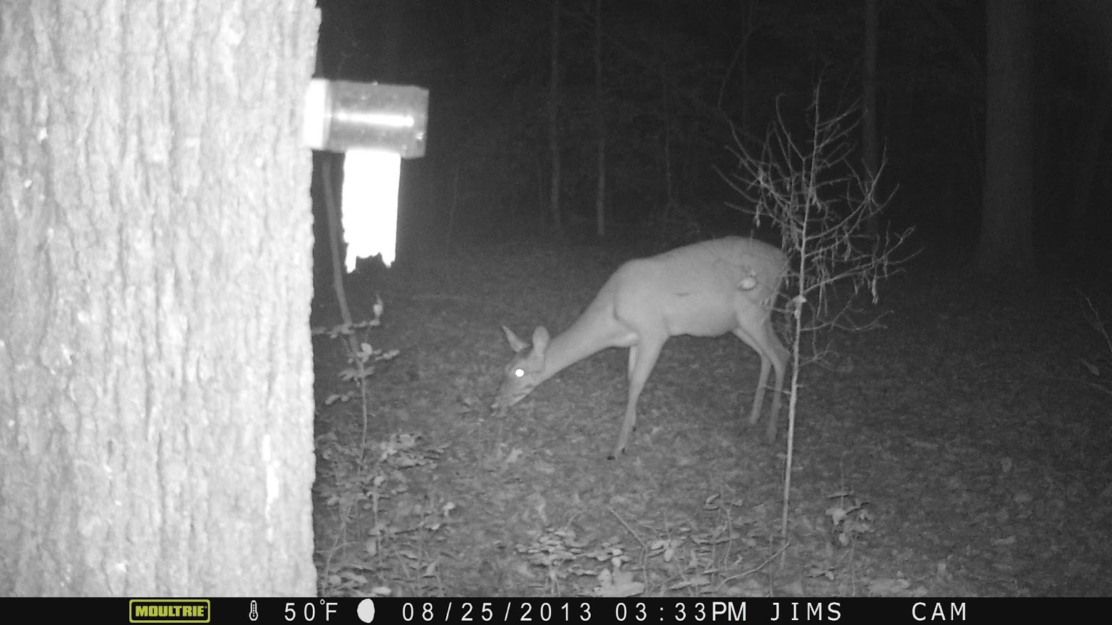
This fawn visited several times during the month.


Young buck


Another young buck or the same one?


Family reunion.


Doe poses for photo.


Sept 4 Update on ATT


The missing link is about to be completed. Here is the unfinished trail as it leads up to the new I-40 crossover bridge. The bridge's superstructure was put in place in July. Just 2 weeks ago the concrete deck was poured. There are a few finishing touches to be done but it will be ready for the official grand opening Oct 12.

Not many rail trails can boast a $7.5 million bridge. This one is 268 feet long spanning I-40 just south of Durham NC. The main support structure are two 30 in diameter arched pipes. All material were sourced in the US for a change. Once completed the 14.5 mile southern section will be connected to downtown Durham with the 7 mile northern section


New approach trail hugs the property border of Southpointe Mall. It is one of the only places I can ride a bicycle over the posted speed limit. The new trail sections will allow us to use the mall for a parking area and provide an array of restaurants for post ride meals.


Great Blue Herons are often seen in the wet area less than 1/2 mile from the southern terminus. Beaver Creek is impounded here to provide habitat for waterfowl and water birds.

Nov 19 Quechee Gorge

  At 165 feet deep, Quechee Gorge is the deepest gorge in Vermont. The Ottauquechee River flows through it. The name is derived from a Natic...