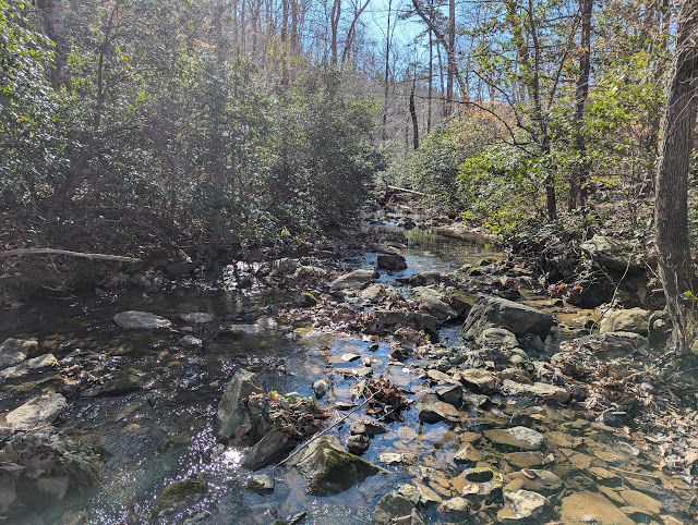
Rt 105 to the swinging bridge and back is one of my favorite hikes. Joining other PHOC members, we start up Profile Trail about 10 am. Although the distances aren't that great, the effort is. Profile Trail starts out relativity tame but eventually gets your attention. It is steep and rocky. I mean to emphasize "rocky". There is a potable spring .4 mile from the end for those needing a drink. The trail ends at a "T" with either way headed to the two peaks of Grandfather Mountain, Calloway to the left and MacRae to the right. Today we're going to MacRae on our way to swinging bridge.
The route to MacRae begins innocuously enough along a relatively flat and wooded trail but soon gives way to the first challenge. Negotiating up a boulder outcropping leaves 2 of our group unable to continue. Lyn with her broken arm sustained at Mt Sterling two weeks prior, knows this is her turn around spot. The other gal just wasn't prepared for this Grandfather obstacle. The views are wonderful as we hike along the ridgeline. Not long later we encounter the first ladder of the day. Immediately afterward is "the Chute" which earns this hike the moniker "chutes and ladders". Going up the chute may be a bit easier than going down but either way it is a slow process requiring accurate foot and hand holds. At the bottom is a pile of boulders you actually hike into through passageways underneath the jumble. There are 3 short ladders here. When you emerge you're at MacRae Gap and it is just a 2 ladder climb to the top. About 30 folks are sitting here but there is ample room for our group of 16 to settle in for lunch.
Lunch is over and we're on the move to swinging bridge via Grandfather Trail on the multiple ladder route. Photo above is the series of three ladders, always a bottleneck. Later in the day 2 rangers with walkie talkies were stationed here directing the up and down hikers like you'd see at a road construction site. Finally we make it to the parking area which is actually part of the "grandfather attraction" maintained by the heirs of Hugh Morton. It costs $18 per vehicle to enter and drive up. I'm pretty tired and want a little extra time walking back so I ask Debby our hike leader if I can return without the obligatory visit to the bridge, gift shop and restroom. I'm headed back at a much slower pace and decide to hike on the Underwood Trail, an alternate, more sheltered route back to MacRae Gap. This route turns out to be very rocky and very slow going. I make it back to the gap and wonder if I'm ahead of the group or now behind them.
I feel my strength gone and am very tired. I know this feeling and know I can pace myself out but I am concerned I'm behind the group and will be MIA at their hike finish.
About 4 pm I'm slowly making my way down Profile and Matt comes up from behind and informs me he is ahead of 3 others who took the Underwood route but is unsure if the main group is ahead or behind. I enjoy our conversation for next couple miles on the slow descent. We arrive at the trailhead to find only Lyn and Diane, the gals who opted out early on hike at the first obstacle. We wait almost an hour before the remainder of our group arrive. Everyone is tired but quite satisfied with our day on the mountain.


No comments:
Post a Comment