Monday, August 30, 2021

Aug 18 Urban Hike in St Louis


First proposed in 1933, it opened to the public in 1967. The Gateway Arch was actually approved by Congress and legislation signed by FDR in 1934. So what took so long? First, the riverfront area of St Louis, which had deteriorated, needed to be acquired and cleared. That took a while and then WW II delayed things. Finally by 1949 a design for the arch had been approved but still another obstacle was the railroad. It took 10 years to approve a plan to move railroad tracks to a tunnel beside the monument area. Bids went out to 50 firms and the winner was 30% above estimates. After the due diligence check, a winner was declared and work began 1961. There were some protests but basically, things proceeded along on course. It was completed in 1967 and opened to the public. 


The chief designer, Earo Saarinen described the shape as a catenary curve. Wikipedia quotes him as saying:  "This arch is not a true parabola, as is often stated. Instead it is a catenary curve—the curve of a hanging chain—a curve in which the forces of thrust are continuously kept within the center of the legs of the arch." William V. Thayer, a professor of mathematics at St. Louis Community College, later wrote to the St. Louis Post-Dispatch calling attention to the fact that the structure was a weighted catenary.


Normal catenary curve or weighted catenary curve. you decide:


The original shape of the legs was to be square. Although, more sound structurally, aesthetically, a triangle was nicer. So the design changed to equilateral triangles, 54 feet on each side at the base, narrowing to 17 feet each at the top. And the structure is 630 feet high with the legs 630 feet apart.


In the shadow of the arch is the Old Courthouse where Dred and Harriet Scott sued for their freedom. For over 15 years they continually brought cases before the court and although, they occasionally were successful in a lower court, verdicts were always overturned. During this time, they were owned by Irene Emerson. She married Calvin Chafee in 1850. He was elected to Congress in 1854. As an abolitionist Congressman from Massachusetts, this became a sticky issue for him. When the Supreme Court ruled in 1857 that the Scotts did not possess legal standing because they were not US citizens, The Chafees deeded the Scotts to another Congressman, Taylor Blow. He granted them freedom. Dred Scott was employed as a porter at a downtown St Louis hotel when de died about a year and a half later. 


Leading through the city to the arch is green space with this wonderful sculpture garden. 


Going along the river, south of the arch is an abandoned area trying to make a comeback. This mile long wall was painted with murals but it appears they are being painted over. We didn't encounter anyone else along this walk and were glad to make our way to a more agreeable neighborhood. 


\
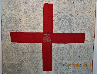
Killing time, we took a tour of the Field House and Museum. A quilt display caught my eye. Military quilts are not something you normally encounter. The one above is from the Viet Nam War era.


Above, is a WW I era "Red Cross" quilt. These quilts were made to raise money for the war effort. You paid to have your name stitched in. The quilts were often auctioned as well. The red starred names are those who served and yellow stars indicated those who lost their lives in defense of the country. 


Thursday, July 29, 2021

July 21 In the Footsteps of Flora McDonald


I am told that this pile of rocks was the chimney of Flora and Allen McDonald's North Carolina plantation. 


The home's springbox is located a short distance away. Note the large stone steps leading down to it. 

The Hall Cemetery

Roadside marker on Lovin Hill Rd

Wanna go? Here is how. It's in Montgomery County, NC. Look for Lovin Hill Road. It's best to access Lovin Hill Rd from its southern end on Rt 731, but either way works. Basically, keep your eyes peeled for the above marker. There is a pull in and a road here. Park but do not walk up the road by the marker. As you face the marker, turn right and walk a very short distance on Lovin Hill Road to another gated road. That is the one to walk up. At the top of the hill, there is a small opening and cemetery on the right. Continue walking past the cemetery, going about as far as you did from Lovin Hill Rd to the cemetery. there will be a side road on the left. It has a steel pipe in the ground near it. It's best to find the spring first and then retrace to locate the house. It is also best to go when the vegetation is down. After you have turned left onto this road, it goes down a hill and up and down. You will notice after several hundred yards, the right side of the roads begins to drop away. there is also a plain 4x4 post in the ground near this spot. The Loblolly Pines give way to a second growth forest here as well. As soon as you see the landscape drop down slightly from the road level, head down and there it is. To find the pile of rocks, retrace your steps on the road uphill. About halfway or slightly more than halfway up the hill, look to your right about 200 feet for the rock pile. You may have to meander around a bit. 

Now, how to find their mill site. That will have to be another blog entry after I have located it. 

Jul 21 Falls Reservoir and Moccasin Creek Waterfall


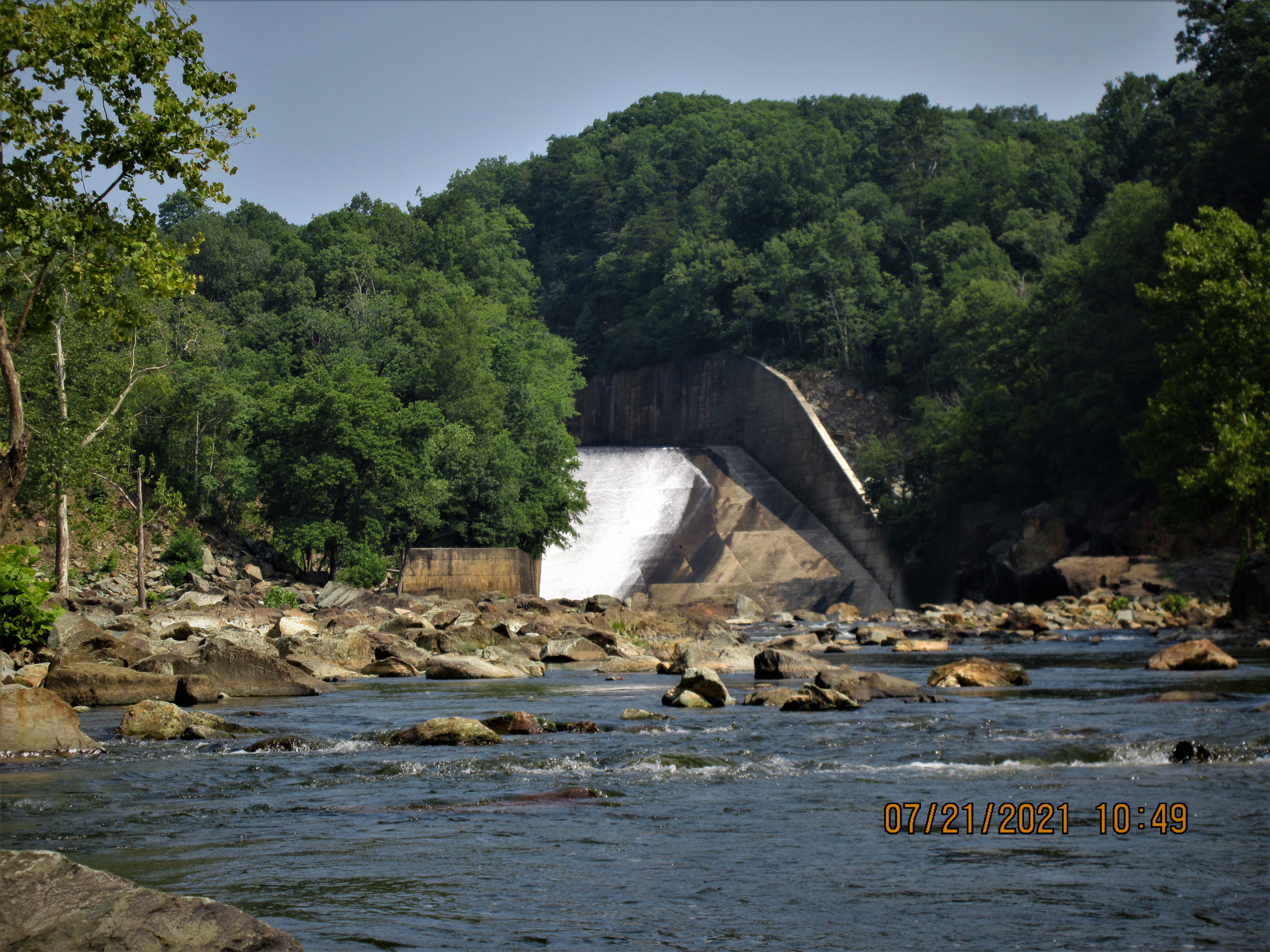
Our paddle today covers the length of Falls Reservoir. At 2 miles, it is the smallest of the Yadkin River lakes. Created in 1919 by ALCOA, now owned by Cube Hydro Carolina, the Falls Reservoir is a tiny 204 acres. However, our paddle was focused on the Narrows Dam which backs up Badin Lake. 


Along the way, I wanted to see if Moccasin Creek waterfall had water. It did. A first sighting of this waterfall for me. 

Swamp Rosemallow

We made our way toward the dam along the eastern shoreline. Finally we were in sight of the eastern spillway on the dam. The dam's storyline dates back to the late 1800s. An English engineer, Egbert Hambley formed the North Carolina Power Company in 1898. His scheme was to build a dam across the Yadkin to provide power for his mining company which was producing gold, copper and granite. The site he chose was about 2 miles upriver from the Narrows and the site of the present day dam. Using granite from his quarry, he began construction. Dam construction proved more costly then he envisioned. Things slowed until Hambley enticed George Whitney and a group of financiers from Pittsburgh to sign on. Whitney bought the Power company and renamed it Whitney Company. Construction continued in 1901. Not only would a dam be built, but a 4.5 mile long canal would take water from the dam to the Narrows where the powerhouse was to be built. The canal used valleys and low spots to maneuver 4.5 miles to travel reach a spot 2 miles downriver.  


Things took a turn in 1906 when Hambley died. Then in Oct of 1907, the panic of 1907 happened when a couple NY bankers tried to use a short squeeze on United Copper. The ensuing panic bankrupted George Whitney. Things lay idle until 1913 when Adrien Badin of L'Aluminium Francais bought the Whitney project. Their survey showed a better site for dam, at the Narrows. They proceeded to design and build a town to house the dam construction workers and later the aluminum smelter workers. The town of Badin is today on the National Register of Historic Places for the French influence of its architecture. Southern Aluminum Co was formed as a subsidiary of  L'Aluminium Francais. In 1914 war broke out in Europe. France being in the middle of it, called all reservists to come home and fight. That prompted ALCOA to purchase the project in 1915. The dam was completed and began producing power in 1917. The remnants of the Whitney dam can be seen when water levels are drawn down.


Our paddle to the dam was turned back by a very strong current. We paddled back toward the Falls Reservoir Boat Ramp. Along the way, I was caught in a strong current moving me from east to west. I'm guessing there is some topography underwater that caused that.  


Monday, July 19, 2021

Jul 1 Little River Paddle


The headwaters of Little River reach all the way to Asheboro. Roughly, I-73 forms the boundary between  Little River and Richland Creek with water east flowing into Deep River and the Cape Fear Basin. To the west, water forms Little River, destined for the Pee Dee Basin. 


Today's paddle is between Bruton Dam and Eure Dam. It is a section not paddled much as it is only accessible from private property. Our put in was about midpoint between the dams. we paddled up to a set of rapids and then back.


River Left has a series of cliffs which at one point appears to rise about 30 feet. I was not expecting to see that on Little River. 


Sunday, June 20, 2021

Jun 17 Roan Mountain Azaleas


The scene at Carvers Gap at noon was compounded by road construction. The parking areas were almost full - still some room in the overflow but with all the confusion, most folks tried to get in the others and blocked traffic as they tried. One woman drove her car off the side into a nosedive ditch. She was ok but seemed overwhelmed by her predicament. 


We are finally on the trail and looking at the big balds that we'll climb. There are lots of people out including about 40 Governors School students. The air is breezy and cool for late June. 


Distant mountains surrounded us. I could see the Smokies, the Blacks, Grayson Highlands, Linville Gorge mountains, Grandfather, Beech and Sugar (hard to miss with that ugly condo cube on top. 


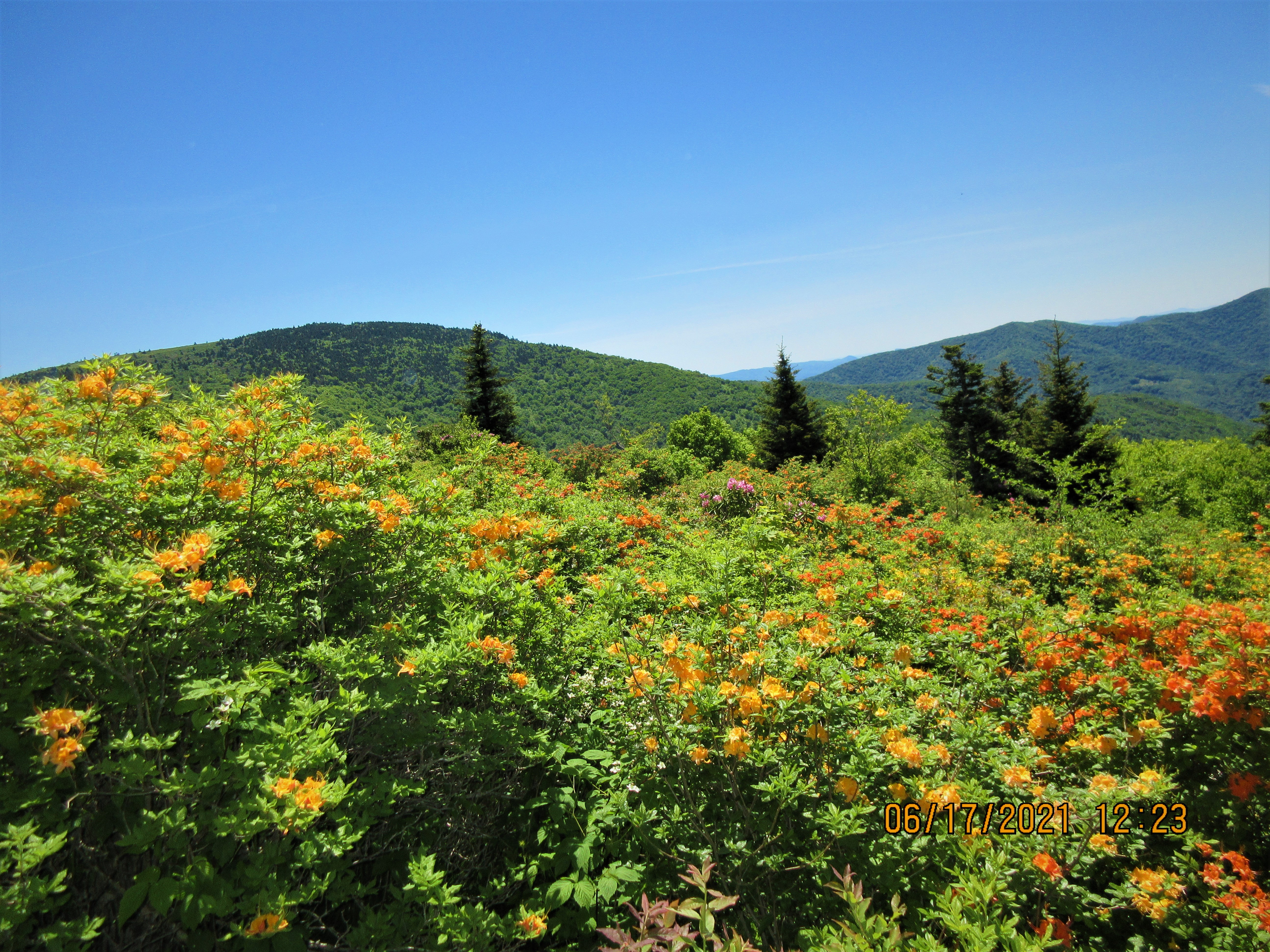
Most folks are out here today to see the Flame Azalea. That includes me. It appears to all be same species but some slight color variations. There was one which was distinctly yellow. My photo of it had a bit too much sunlight, so it is not pictured here, 


These photos were all taken in one area, less than an acre in size.


Catawba Rhododendron was also blooming. The word is that it is not blooming up in Cloudland. There are two Rhododendron festivals scheduled for this weekend. They might get a glimpse of the bloom up above but I suspect the prime bloom will occur in a week.   


Stan Murray Shelter has a cool looking mouse proof food bag hanger. 


Our hike ended at Roaring Brook parking area on the Overmountain Victory Trail. 


Jun 14 Caraway Creek Preserve Trailbuilding


Uwharrie Trailblazers had the leaf blowers, chain saws, weedwhackers and lots of hand tools going at it this morning. Within 2 hours there was a trail. Thanks to Piedmont Land Conservancy for the land and the planning, Randolph County is going to have a great trail system on a beautiful piece of property with early American and Native American heritage sites. 

Not to mention a huge Short Leaf Pine

It is solidly built


The property has a beautifully constructed check dam. This dam was designed to control sedimentation downstream and redirect water flow into the creek bed during flooding. 


Jun 12 Damage to Betty McGee Bridge


On Jun 10 the Thornburg area of the Birkhead Wilderness had over 4 inches of rain during a very short period of time. The brand new bridge over Betty McGee Creek took a beating and barely survived. The creek rose up about 7 feet higher than the grade level of the bridge. The fill dirt by the river left footing was completely washed away allowing the water to lift the bridge and push it downstream about 8 feet until a Sycamore secured it from further movement. 


Damage to the wood structure was minimal but now both sides are off their footings. 


The Forest service had their engineering staff investigate. Their initial plan to remedy the situation is to raise the bridge to the highest level of the bank and add 15 feet of length. Meanwhile, the bridge will continue to serve as a crossing but with a caution warning. 


Aug 5 Natural Bridge State Park

  It's the largest limestone arch in North America. Key word there is limestone. The arches at Big South Fork are sandstone. As are the ...