Sunday, July 30, 2023

Jul 11 Blue Ridge Tunnel


Now, this is literally and figuratively a cool place. Especially cool on a hot summer afternoon in central Virginia. Located 700 feet below the intersections of Rt 250, Interstate 64, Blue Ridge Parkway, Skyline Drive and Appalachian Trail is the Blue Ridge Tunnel. With portals on both its east side (Afton) and west side (Waynesboro), the tunnel tamed the route through the Blue Ridge mountains at Rockfish Gap. 


This remarkable feat was made possible by Claudius Crozet. Mr Crozet now has a funky small town just to the east named after him. How did a French engineer mange this? Crozet served in Napoleon's army as a young man. He was captured and imprisoned two years in Russia. After his release, he again was with Napoleon's army but after Waterloo and Napoleon's abdication Crozet had had enough of Europe and headed west. After teaching engineering at West Point he landed a position as chief engineer for the Virginia Board of Public Work in 1823. There he worked on canals, bridges, turnpikes and much later, railroads. He left for a 6 year stint in Louisiana before returning to his old job in 1838. The Virginia legislature grew tired of his constant advocacy for a railroad route through the Blue Ridge to open up the Shenandoah Valley, West Virginia (then part of Virginia) to the Ohio River. Crozet was fired in 1841. Once again Crozet was hired to his old position in 1849 as the groundswell for such a route became widespread. His proposal to connect a route from Afton to Waynesboro by way of 4 tunnels was started immediately. The state legislation funded the Blue Ridge Railroad. It was to build a 17 mile track connecting to existing railroads on either side of the Blue Ridge.   

Hand drilled hole for black gunpowder

The four tunnels - Little Rock, Brooksville, Greenwood and Blue Ridge were part of the plan. Blue Ridge Tunnel at 4273' was by far the longest and most difficult. The work force was mainly Irish immigrants fleeing the aftermath of the Irish Potato Famine. Beside upwards of 850 Irish, about 50 locals and 40 slaves were hired. Rains and strikes plagued the construction which was being done by hand and black gunpowder blasts, 24 hours a day. Deaths of 189 persons were reported from 1849 to 1858. The public grew tired of the delays, so in 1854 temporary track was built around the unfished tunnels and the railroad was open for business but only for trains that could mange the steep and winding temporary track. Crozet's management was so severely criticized that he resigned in Jan of 1858 just months before the opening in April. The Blue Ridge Railroad was acquired at that time by Virginia Central which in turn became part of Covington and Ohio, then Chesapeake & Ohio and finally CSX. A sister tunnel was built in 1944 right next to the Blue Ridge Tunnel so larger locomotives could use the railway. The only tunnel of the 4 original ones still open and in use is Little Rock.

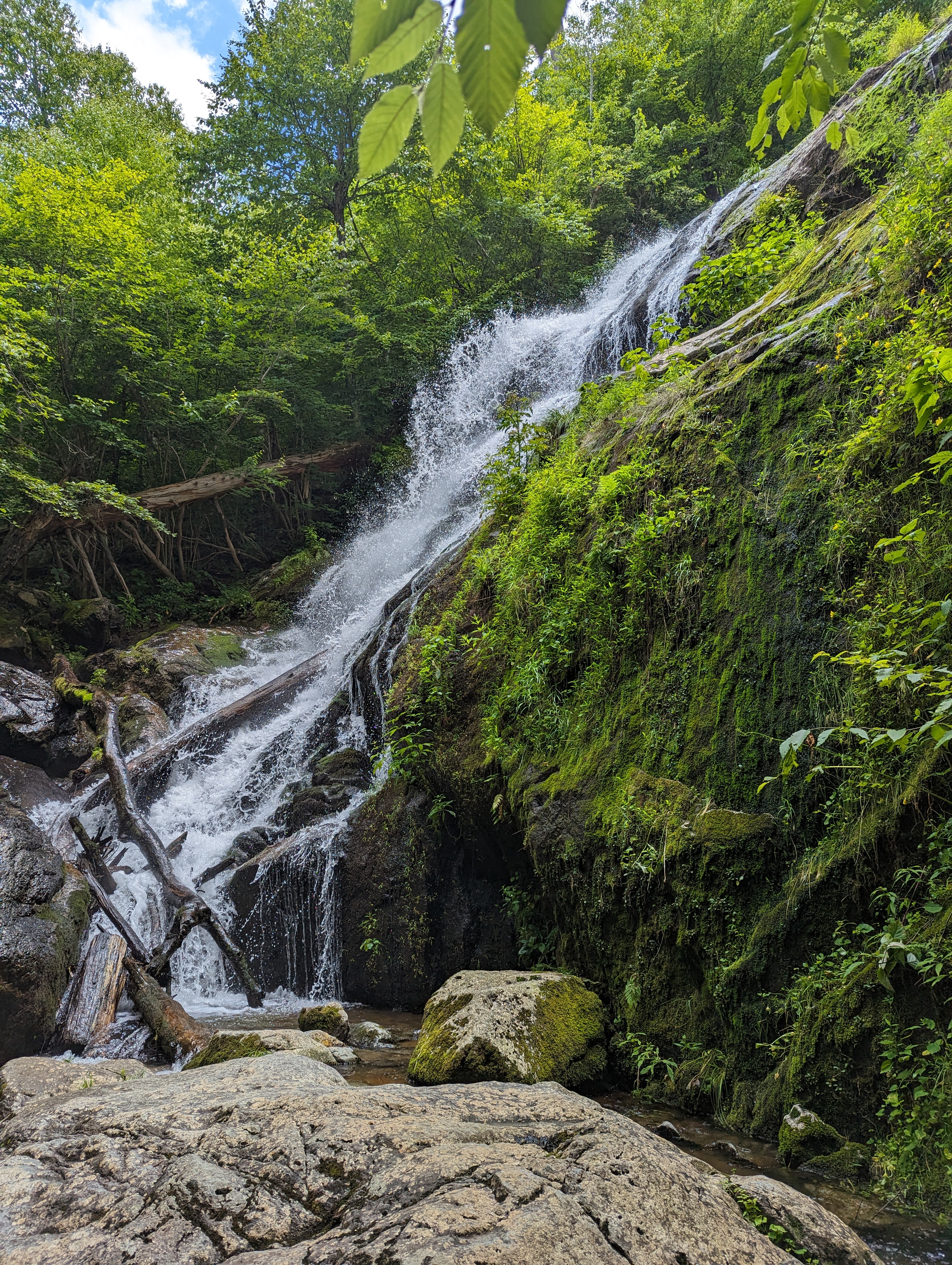
Waterfall in the tunnel

With the Blue Ridge Tunnel abandoned, a local company leased it in the 1950s to store propane. Two bulkheads were built inside the tunnel, one 750' in from the East Portal and the other 1900' from the West Portal. Although, the venture failed, the tunnel was now blocked in 2 spots. In 2007 CSX donated the tunnel to Nelson County. The Claudius Crozet Blue Ridge Tunnel Foundation raised the funds needed to remove the bulkheads and build trails and trailheads on both sides. In Nov 2020 it opened to the public.


There is a massive parking area by the East Portal and I assume a similar one beyond the West Portal. Approaching from the east, the first thing you see are the two tunnel entrances. The still active CSX tunnel built in 1944 is rather close, much fencing is needed to keep everyone off the live tracks. As we were walking in this area a maintenance crew was passing on the CSX track spraying herbicide which had an odd odor. Once in the tunnel you can see the other opening about a mile away. After just a few minutes you'll need that flashlight turned on. We encountered a number of folks walking, all had lights of some sort. There were no bicycles and I don't know if they are permitted. 

Long shadows in the tunnel. Note the brickwork ahead.

We heard traffic sounds occasionally. I think we were hearing truck traffic on the interstate 700' above. A train in the adjacent tunnel surely would be heard as well. Water penetration is evident in a few spots near the East Portal. Gutter ditches on both sides carry water out the East Portal. There were several drains built during construction to remove both groundwater and rainfall. We did not see any of these. 

From the East Portal side, you can walk to the West Portal and back for just over a 2 mile hike. It is about twice as long from the parking area on the west side. 


Tuesday, July 25, 2023

Jul 11 Turk Mountain


We're hiking at Turk Mountain because I missed the parking area for Blackrock Summit and there was shade in the Turk parking area. It's a humid day but only in the high 70s along the southern end of the Skyline Drive in Shenandoah National Park. To reach Turk Mountain Trail, we headed south on the AT for less than a mile. All trail junctions in the park have these concrete posts with a metal band embossed with trail information.


The trail heads down and down. I wonder if we are really going to the top of a mountain. Yes, the trail bottoms out and heads up and up. And then steeply up. There are a couple limited viewpoints before a final scramble of large rocks. Then it is wide open sky.


The view is looking west at the Shenandoah Valley between Staunton and Harrisonburg. I looked for the interstate but could not make it out. Rt 11, the old route up and down the valley was visible.

It is not clear in this photo but the top right side of the rocks is a rock field of medium rocks much like Devils Marbleyard. From the valley, these rock fields look like huge bare spots. Being medium size rocks, this is called a talus field.


I attempted to scramble around to get a better photo of the talus field but I must be getting old and the rocks presented a precarious challenge that I did not want to undertake. The yellow jackets were a concern too.


Once the yellow jackets joined in the fun, we picked our way through the rocks and back onto the trail for the return leg. Careful foot placement was needed for the first few minutes until we reached another talus field with a more limited view. Passing that, the trail was an easier walk. Nice hike for a hot and humid day. Our afternoon hike would be in a tunnel and much cooler.

Small talus field


Saturday, July 22, 2023

Jul 10 Crabtree Falls (Virginia)


Located in Nelson County Virginia, near the Blue Ridge Parkway and The Priest, is this fabulous waterfall. It's popularity in recent years has ballooned so much that a newly designed parking area and road bridge needed to be built. The original parking area was a tiny pull off. You could also stay at the USFS campground nearby and walk to the falls, Both approaches went over this arched footbridge. Today this footbridge rarely even gets noticed. 


It is often described as the highest waterfall east of the Mississippi. More correctly, it is the highest vertical drop cascade waterfall east of the Mississippi. Three different sources say it is 1080', 1200' and the USFS says 1593'. You can not see it all at the same time. A trail climbs from bottom to top. There are 3 distinct drops and many smaller cascades. To see it all involves a 2 mile hike.  


Don't confuse this with the same named waterfall along the Blue Ridge Parkway near Little Switzerland, NC, a mere 70' single drop waterfall. And don't try to visit on a weekend, and remember to bring $3 for a parking permit. If you have a National Parks senor pass, that works too.


Tuesday, July 4, 2023

Jun 29 Occoneechee Speedway


Occoneechee Speedway was renamed Orange Speedway in 1954

Today, the Historic Occoneechee Speedway Track (HOST) is awaiting inclusion in Eno River State Park. The Eno River Association facilitated the purchased of the tract from the Classic American Homes Preservation Trust which owns the adjacent Ayr Mount home. It has been open to the public for some time now. Some renovation of the former speedway buildings have taken place. 

Here is the story: Originally a horse racetrack dating back to the 1800s. Julian Carr operated a horse farm and horse racing venue. In 1947, NASCAR founder Bill France Sr was piloting his plane through the area and saw the old race tract. After buying the property in 1948, he had it ready for the the 3rd race of NASCAR's inaugural season in 1949. 


Above, the track restrooms. Looking inside, it appears this is a large scale pit toilet. 

NASCAR hosted one or two races per year through 1968. There was local opposition to the racetrack. The Orange County Anti-Racing Association formed in 1956 opposing racing on Sunday. The race brought undesirable elements with it. Heavy drinking, firearms, fights among fans and sometimes drivers were part of the early NASCAR environment. Spectators were known to scale the fence surrounding the racetrack, gaining entry without a ticket. The Anti-Racing group was able to get a state law passed banning racing on Sunday in Orange County, although there was no break in NASCAR races after that. Nevertheless, Bill France Sr, closed the track and moved the race to a new asphalt track he had built in Alabama, the Talladega Superspeedway in 1969. The days of dirt tracks was coming to a close and local opposition seemed to cement the closing.

Renovated Ticket Booth

Entry to the speedway


There are about 4 miles of trails on the property. Several follow the Eno River which was quite close to the east side of the speedway. There are plans to build a bridge over the Eno to connect the trails to the Ayr Mount property and its Poet's Walk Trail. The MST briefly gets on part of the speedway as it passes through the area. Going west on the MST takes one on the Hillsborough Riverwalk. Along that trail is access to downtown Hillsborough. there is also a recreated Occoneechee Indian Village with surrounding palisades. There were 3 archeological sites near there in overgrown fields. 


In September of 1961, a UNC graduate student, Kenton Kyle from West Virginia, gained access to the speedway one night by moving some barriers. He proceeded to drive his convertible around the track. Missing a turn and into the trees, he was killed in the early morning hours. His death certificate listed 4am as his time of death. Workers arriving in the morning found him in the wrecked vehicle. 


I hesitate to call these "grand"stands.


Nearby on Board of Education property is an icehouse which dates back to the 1850s. It was built for the Cameron family which lived nearby after relocating from their plantation at Stagville. 


Apr 20 Waterwall on Walker Creek

  Waterwalls redirect floodwater back into the creekbed. There is one very near the Uwharrie Trail on the Walker Creek section. This one is ...