Celebrating Birthdays! 2629 and 71
Our paddle begins at Henry's Landing on the Black River. "CR" (Charles Robbins) is in charge of our 11 person crew of paddlers. CR starts with a presentation on dendrochronology, why it is important and how it is carried out in the Three Sisters area. Dr Stahle with the University of Arkansas, heads up the effort of core dating many of the old trees. So many of the Bald Cypress in the swamp are hollow but still living. We can only guess as to the ages of those trees. Normally, a core is taken at 4' from ground level but some of the Cypress here have to be cored at as high as 30' to get a solid trunk and some just can't be cored at all.

Coring at 30' means you are on a ladder with a platform, harnessed to the tree, with a 36" or 40" coring tool. Photos and GPS data accompany the core. Someone has to count the rings of the core. CR says you have to count the missing tree rings too. Compression from the weight of the tree or an infestation or damage to the tree may have caused a ring to not appear in the core. A trained eye is needed to figure that out. Data from the core shows us wet and dry years. The biggest drought in hundreds of years occurred in 1587. That was the year colonists arrived on Roanoke Island, later moving 50 miles west never to be seen again. The weather may have played a role, depleting resources needed to survive.

Dr Stahle heads up The Black River Project of the Ancient Bald Cypress Consortium. Protecting uncut old growth Cypress, 500 years and older is there mission. The Nature Conversancy is the primary partner is securing the area's protection. Their holdings now number over 17,000 acres along a 13 mile stretch of the Black River including flood plains, bottomland and some Longleaf Pine forests. Their proposal to sell the land to North Carolina for a state park has been on hold due to local opposition. TNC is also pursuing a federal partnership for this protected land.

After leaving Henry's Landing, we have a 2 hour paddle before reaching the first of the old growth in the Three Sisters Swamp. About 30 minutes before reaching the area, CR takes us river left to follow a channel through a flooded forest. Just after emerging back into the main channel, it is a few more minutes before CR guides us river right into the area designated as the Three Sisters. Aerial photos of the this area show the river dispersing into a series of channels. Water level is high, making it easier to maneuver among the trees and knees.
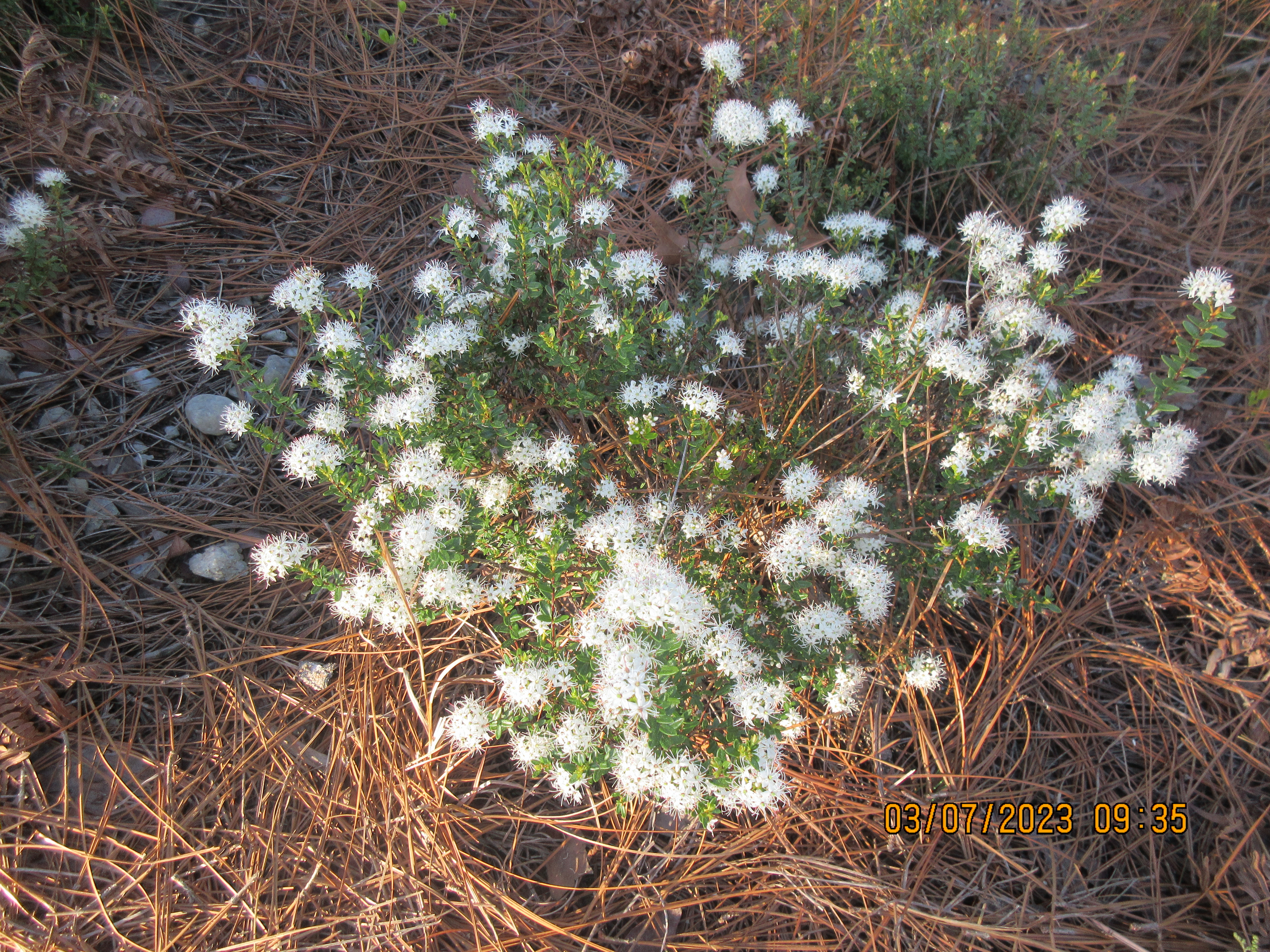
This large hollow hulk greets you upon arrival. It was difficult to stop here long enough to get a photo. The water flow increases as our day goes on.
These ancient trees are so well rooted that hurricanes can not topple them but can blow tops out giving the trees weirdly shaped canopies. Spanish moss adds some character too.
We head to the heart of the swamp where there is a patch of dry land and sandbars.
We are able to get all kayaks out of the water. There wasn't much privacy on this tiny dry spot. I never order a PB&J at a restaurant, but here, it is the setting that can't be beat in any restaurant, and PB&J is just right. It was good to get out and stand for a bit after a few hours sitting.
We were within view of this photogenic tree during lunch. I've seen it many times in photos. Also, just a stone's throw away, is the 2629 year old Cypress. The oldest core dated Bald Cypress in the world, sits among other older trees whose ages can not be dated by coring. Some could be a thousand years older. We can only speculate on their ages.
The old growth Cypress here are the oldest trees east of the Great Basin Bristlecone Pines. Bald Cypress are the 5th oldest tree species on earth. Who is older?
1) Patagonian Cypress unconfirmed at 5484 years
2) Bristlecone Pine 4900+ yrs
3) Giant Sequoia at 3266 yrs
4) Sierra Juniper at 2675 yrs
Tannin gives the water a brown tea color which looks quite nice with a sandbar. Many of the trees have nicknames. CR pointed out Joppa the Hut and Lord Voldemort. There was a formation on the BLK227, the 2629 year old tree, which resembles a left hand. I didn't see the resemblance. And then there is the mystery of BLK69. Trees which have been core dated have metal tags attached which identify them BLK69 was cored about 20 years. It's tree rings placed it at 364 AD, making it 1659 years old today. It has been surpassed by BLK227 now. However, for many years, it was the oldest known tree in the swamp and everyone wanted to see "Methuselah". Here is the mystery. A tree with the BLK69 tag is located near the main channel in a very accessible area. Dr Stahle says that is not the tree. He should know, the tree is in his GPS data. So, how did the tag get on the wrong tree? Is Dr Stahle incorrect? Did someone put a tag on it or move the original? It's an unsolved mystery as of now.

Another photogenic tree
After a meandering paddle through the swamp, the three sister channels conflow and the main channel of the Black River is re-established. On a previous paddle, we left the main channel 3 more times to paddle shortcuts through old growth areas between the swamp and the take out. Today, we were only able to make 2 of the shortcuts. CR advised the middle one has a tree down that we would not be able to get through without difficulty.
When the top blows out of a Cypress, young branches will form lower on the tree to make up for the lost leaves or needles in this case, to photosynthesize.
Knees play a role which is not completely understood. At the base of the Cypress, the widened base is called the buttress swell. It is a series of ridges. Those ridges form roots over a wide area. Roots will send up knees. Roots among other Cypress intermingle. There is a hypothesis that Cypress is clonal or at least the individuals can share resources through their root system. The knees here are 6-7 feet above water level and have another 3-5 feet below water.


The last shortcut we take goes through an wide open area CR calls Swires Lake, named for the family that used to own it. It is also an area The Nature Conservancy uses to access the river and swamp. By paddling upriver, the swamp can be accessed much easier than the long paddle from Henry's Landing. CR refers to this access as Mapco. Fundraising by TNC is an unending process. To attract large donors to their cause, TNC needs to show the area to donors. Many such donors are not kayakers and not in shape to make the 12 mile paddle we are doing. So, an access with easy paddling is needed to get those folks out there to see what and why they are writing large checks to TNC. To do this, CR has marked a route just off Swires Lake using reflective thumbtacks to negotiate an adjacent flooded forest so donors can get a good glimpse of the area. More fit and ambitious donors can also make the upriver paddle to the Three Sisters area as well.


In an open area like this, the tree and its knees are easily distinguishable. In other areas, you can't tell which knees belong to which trees. This one above looks like it has an extensive root system to protect it.
Shortly, we are paddling under the Rt 11 bridge. Newby's Landing is just below the bridge. Everyone makes it ashore without difficulty and it is great to walk upright again.