Saturday, February 23, 2019

Feb 23 Hiking New Property at Hanging Rock


Matt Perry is leading today's hike on 700 acres of recently acquired property, now part of Hanging Rock State Park. The recent rains and today's rain has dampened the turnout to just 11 Friends of Sauratown diehards. Historian, Steve Shelton makes an appearance with a large map. He gives us some historical commentary on the property. The nearby creek is Mill Creek, so, obviously, it has served in that capacity. After some interpreting, Steve takes off and we are wondering how we are going to get across the creek. Matt informs us, due to the wet condition today, we are not going to cross the raging torrent - Mill Creek. We just have to cross a tributary. He takes us to a spot to cross. He asks, is anyone unwilling to cross. No one spoke up but I knew I was not crossing there. It was an over the boot, fast moving creek which would take 3 or 4 steps to get across. Not wishing to start out with wet boots, I looked for another spot. At this point, someone suggests that there is wood in the shed we had been huddled in. Yes, there was some wood. We placed 4 pieces across the creek and all made the crossing without incident. 


Once across the creek, we headed up through a laurel thicket and then through the woods to a field and an old road. Water was splashing with every step. After passing a couple old tobacco barns, we headed up on an old road. Then onto one which has a long rock wall alongside. We had to squirm through some blowdowns and cross a few swollen rivulets. Then, a massive rock appears before us, named, Stegosaurus Rock by Matt. It offered us shelter for a short break. Although, we were under the overhang, there was still a waterfall of sorts which emanated from the back of the overhang. I doubt I'll ever see that waterfall again. 


Following the road for a bit more and then heading off trail, we end up along Mill Creek and walk to the park boundary. There is a deer blind and a feeder near here. Then it is about 3/4 mile up Mill Creek to the spot we must cross the tributary again. No mishaps once again.

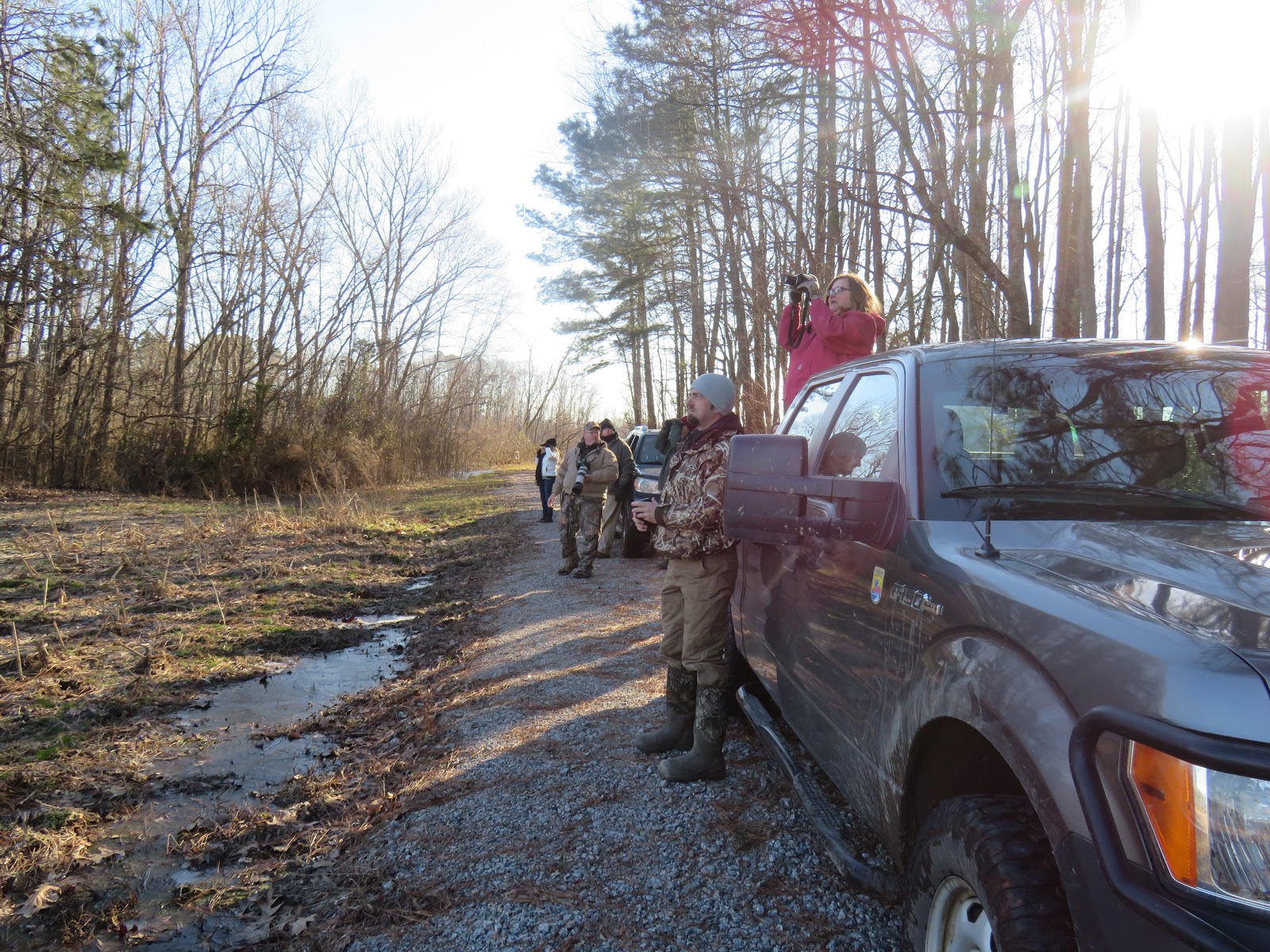
Before we can leave, we have to push cars out of the mud. Several had sunk into the soft ground by as much as 6 inches. After everyone was out on pavement, I could head on. My 4 wheel drive Canyon handled the mud graciously. 

Tammy 1   Cheap poncho 0

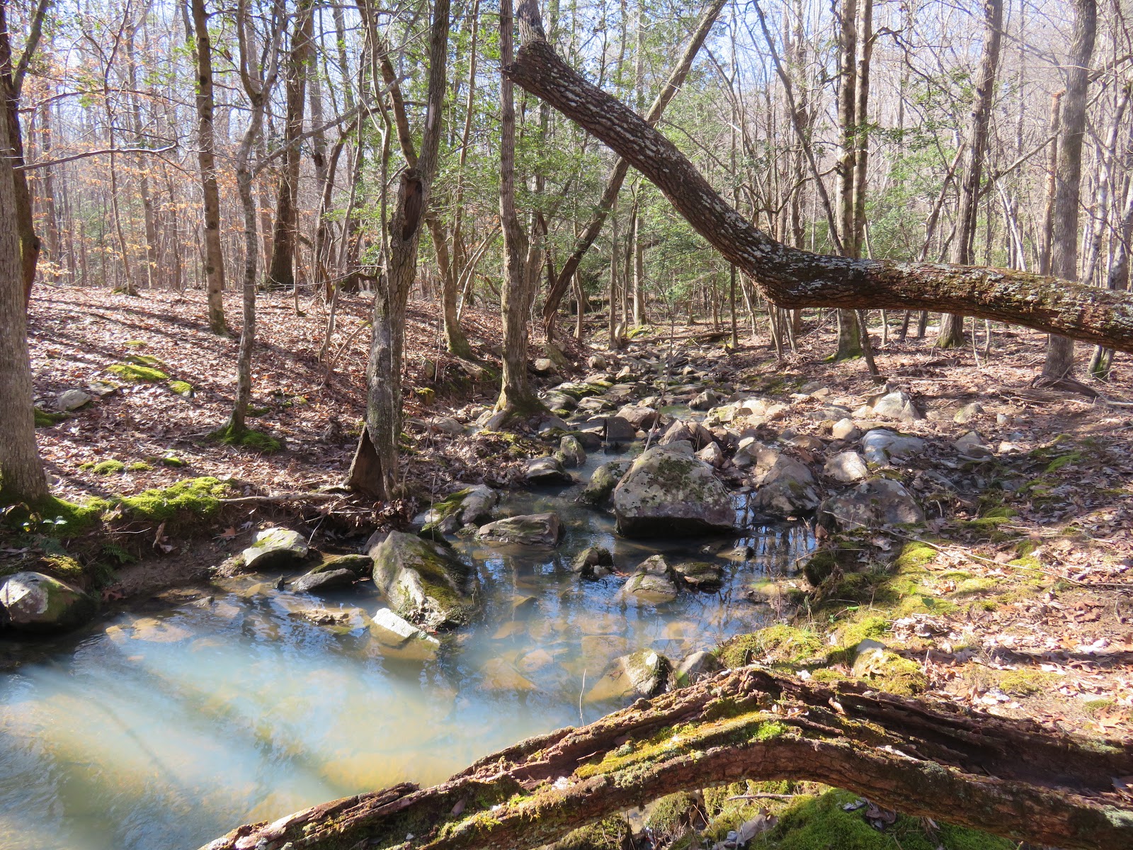
Mill Creek at its most ferocious 

Did anyone have dry boots today?


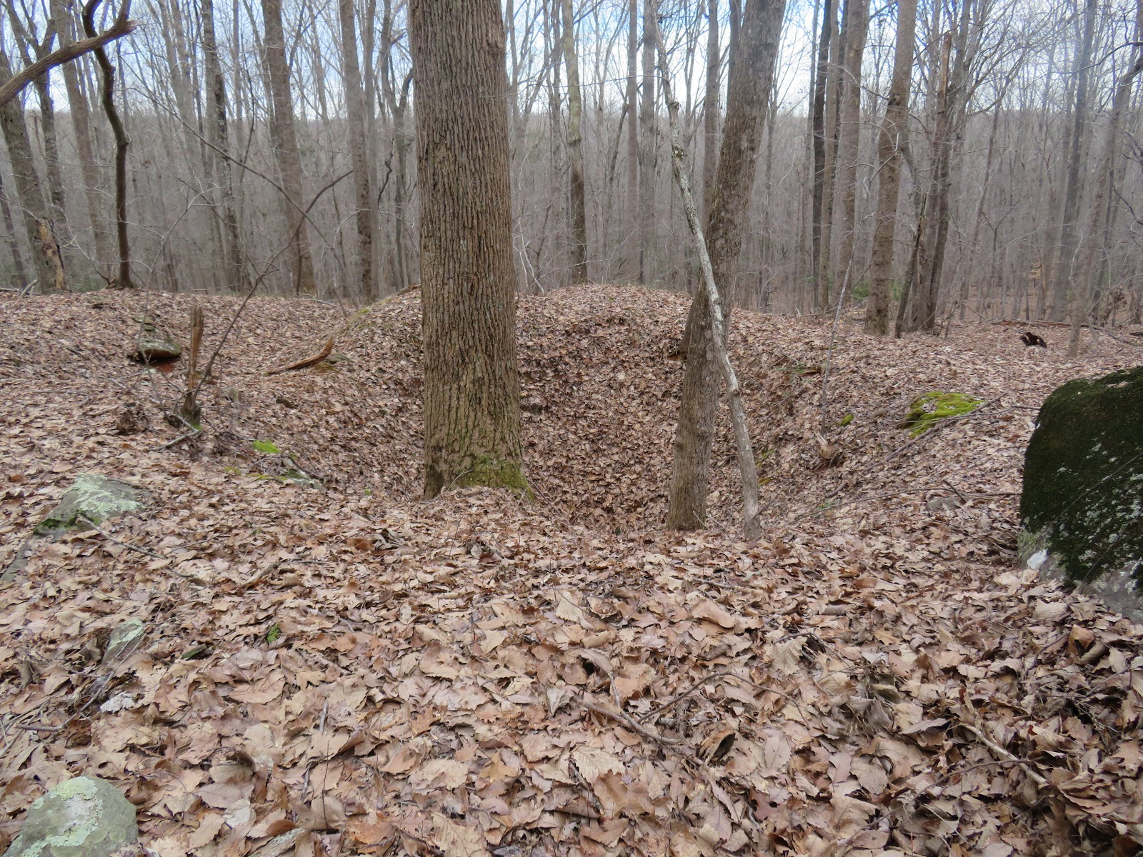
One of the drier spots

Every square inch of the 700 acres is sodden today 

MaryJoan crosses with flair

The last crossing

Dog of the Day

Fearless - or foolish?

Feb 10 Lake Saltonstall


Four days ago (Feb 7) back in 1795, my 79 year old Great Great Great Great Great Great Grandfather, James Plant attempted to walk across frozen Lake Saltonstall. Part way across the ice gave way and he plunged into the icy water and drowned. He lived at the head of the lake, presumably on his farm. I don't know any further details. His burial place is not known so possibly the body was never recovered.


The lake and all land surrounding it is now owned by the New Haven Water Company. It is managed as a reservoir and watershed. Two side of the lake are bordered by steep ridges of traprock. On the southernmost ridge, an immense water tank is situated. I have never seen this before and the only visible part from anywhere else around the lake, is an antenna.   

For a $35 fee you can obtain an access permit good for 3 years, to hike on the NHWC properties. They have about a half dozen properties. The trails on the Lake Saltonstall property are all two track. That might be the case on all their properties. The NHWC maintains a presence on all properties since they are reservoirs. They issue firewood lot permits and some selective cut timbering.

Residential  area on one side of ridge 

On the ridge

Lake side of the ridge


Icy lake

Feb 3 Uwharries Colburn Mine


Don, Joe and I are headed from Tot Hill trailhead to meander in the Betty McGee Creek area. We begin with a short walk from the trailhead on trail. Within minutes we are off trail headed toward the Grey Owl house. We followed a flagged route someone had left. Once on the old road, we saw the flagging head off into the woods as we continued on the road. At the Betty McGee crossing, beavers have been active and we had to move upcreek to a spot where a tree had fallen across to make our traverse.

The Grey Owl house is still there. It looks as it has for years now. 


Heading off into the woods from the house, we head to the big rock with the ladder. I knew there were pits here but never connected them with a mining operation. After looking over the area, we noted about a half dozen pits. Large and deep, like Dowd Mines, this must have been a mining site. 


Following the ridge of large rock outcrops, we see more pits and a long ditch leading down to the creek. We concluded these must be part of the Colburn Mine.


We head back to the creek and find the confluence with two side creeks. One of these has the infamous Window Rock Joe has been telling us about. Pictured below is the group of rocks forming a bridge, or window as Joe would say.


Back on track, we follow Betty McGee to an area of much former agricultural activity. Piles of rock are everywhere. Someone has taken care to make these piles attractive and not just a pile of rocks. 


Some thought went into these well placed rocks. We meander about this area looking for homesites and springboxes but find only the chimney we are familiar with, below.


We head up Cedar Rock Mountain for a break. Take in the view for a few minutes and then look for the spring Joe has been talking about for a year. We find it and it is flowing. Springs at the top of mountains are rare. We aren't actually at the top of a mountain but are quite close. There appear to be 3 springboxes here. The other two, perhaps abandoned as the spring changed course over time. This is a cascading creek from here down the mountain. It is quite a unique water course this high on a mountain.

We continue walking along the forest service boundary for a good ways, seeing little of interest. After a bit, we retrace and them head to the Dowd Mine pits. After visiting here, we are tired and hike back on real trail. Our only side excursion is to a homesite and shelter someone has fashioned with an old metal roof.

After 9 miles, we call it a day. 

Sunday, February 3, 2019

Feb 1 Silver Run - Prettiest Creek in the Uwharries


You can't get lost now. The Birkheads are getting new trail signs. 


My outing is along Silver Run. To get to it, I walk the Robins Branch Trail. The carnage from the twin hurricanes is quite evident on this trail. Although, mostly clear, as I approach the junction with Thornburg Trail, some massive oaks have come across the trail. Its puzzling that the trees high on the ridge are intact but lower one succumbed to the winds. After hanging a left on Thornburg Trail I see more tree carnage but the trail is left unscathed. All day, I see downed trees. The biggest trees in the forest are the ones that came down. 


Silver Run is a small creek as it crosses the trail. This area is filled with pines and fairly flat, indicating it was in agriculture at one time. After walking on a carpet of pine needles for about 10 minutes, the forest abruptly changes and I'm in mature hardwoods again. 


Silver Run snakes along. At times it cuts through ridges of ryolite, bouncing down smooth rocks. 


At one point, Silver Run enters private property for about 100 yards. It is clearly marked. I see many property boundary signage and red paint. Some of this had to be from previous land parcels now owned by the Forest Service. 


If there is a contest for prettiest creek in the Uwharries, Silver Run is an excellent candidate. 


I had planned to follow the creek until it exited the FS property but had to cut my hike short since I needed to be back in town by mid afternoon. So, I took the most direct route back to the trailhead. In doing so, I found an old road and followed it to a homesite I had not seen before. There were a few daffodils budding here. Heirloom Daffodils are a common sight at these reclaimed homesites. 


Further along I encountered two climber deer stands locked to trees. These appeared to be a great distance from any trail. They looked like they were brand new this past season. 

They'll be blooming this week

Jan 31 Pee Dee National Wildlife Refuge


Located in Anson and Richmond counties of North Carolina, Pee Dee National Wildlife Refuge, attracts thousands of waterfowl, particularly ducks during their winter migration. According to the manager, JD, a bird count is conducted every Tuesday. Currently there are about 9000 ducks in residence. 


The property encompasses both sides of the Pee Dee River just below the Lake Tillery Dam. The Pee Dee is formed in Lake Tillery at the confluence of  the Yadkin and Uwharrie rivers. There is significant forested areas as well as agricultural fields. The fields are rotated between corn and soybeans with some other grains as well. The crops are grown as food for the wintering waterfowl. Of course blackbirds, deer and many other animals descend on the crops as well. We saw many deer on the our drive through. In the fall, water is pumped onto the fields from the Pee Dee, so they become a suitable habitat for waterfowl.  


Our outing was organized by Three Rivers Land Trust. We had a group of 14. The objective was to see lots of ducks.  Unlike other refuges like Lake Mattamuskeet, the ducks here are quite skiddish and take to flight as soon as a vehicle appears. As the ducks fly off from one field, ducks in the next field observe this and also take to the air. It is like a domino effect through all the fields. Often the ducks will fly from one side of the river to the fields on the other side. Thus managers don't know which side of the river the ducks are on. These areas are normally closed to the public. We started out on the Anson county side where there were no ducks. Then drove to the Richmond county side and thousands of ducks began flying up from the fields. JD said we needed to quickly drive from field to field to see them but our group didn't understand that urgency as we watched ducks from distant fields fly off. 


The Tuesday duck count routine is a quick one. The vehicles barrel along the gravel roads, bouncing over the potholes and washed out areas. As the ducks fly off, a quick estimate of the numbers is done and its all over in minutes.On our slow drive through, we were able to identify Mallards, Blacks, Ring-neckeds, Pintails and Shovelers. We also spotted a Bald Eagle atop a dead tree. JD mentioned that he had never seen an Eagle get a duck. Apparently, they are not as successful as hunters as we would think. They are observed eating deer carcasses along with Vultures. JD said they attempt to get ducks but he has always seen them miss. The duck just scoots to one side or the other at the moment of impact and the Eagle just gets wet. However, they must have some success since they attempt it often enough. 


After our tour, we visited the Visitor Center where a number of mounts can be inspected including a Snowy Owl. 


Apr 20 Waterwall on Walker Creek

  Waterwalls redirect floodwater back into the creekbed. There is one very near the Uwharrie Trail on the Walker Creek section. This one is ...