Tuesday, November 26, 2013

Nov 24 Scramble at Hanging Rock


The plan was to visit several of the off trail spots in Hanging Rock State Park. First, we wanted to get in the 100 foot cave in Hanging Rock, then the cave in Cook's Wall, then atop Indian Face and Balanced Rock, finally a cascade on Cascade Creek. Of those we managed one out of four.

Heading up to Hanging Rock, Matt, our leader, mentioned how nice it was to have someone (me) along who knew where the cave was. Everyone was deflated to hear that although, I had searched for the cave, had never found it. We circumnavigated Hanging Rock, climbed up every crack but came away empty-handed. We did find a nice campsite, below, between a couple huge overhanging rocks.


We did find the cave in Cook's Wall. It had some old carvings in it which dated back many years. It is always difficult to authenticate such carvings. These were names and dates carved in the rock. So old they had moss growing in them.


Next on the agenda was Indian Face. However, I forgot, Matt said something about Devil's Chimney or something like that, so off we were in Mountain Laurel and briers. I don't care much for briers and these briers were thick as two short planks. Later that evening I cleaned 44 brier scratches. My clippers came in handy here. There was no other way through the mess. Finally we popped out on the ridge between two rock spires. There was no good way to proceed along the ridge. Rick crawled up a crack and disappeared into a hole. Several minutes later, he called for us to follow. It was tough going and Dale smacked his knee hardly on a rock as I pulled him up a chute.

The ridge walk was tough but enjoyable. Matt had to push me up a spot where a mistake would be very costly. Other than that, I handled the ridge well.


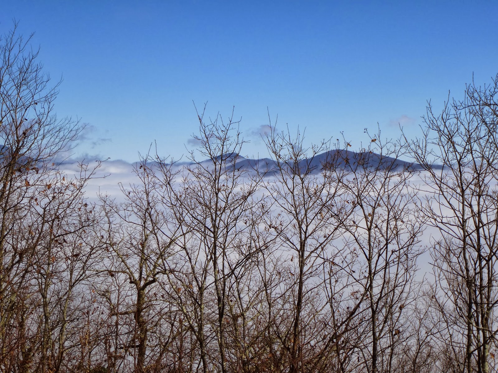
There was no sunlight left after the ridge walk, so the rest of the spots would have to remain unexplored until later.


Nov 21 Sunset at Hanging Rock


Before our Friends of Sauratown Mountains meeting, I watched the sun set on Hanging Rock.

Nov 19 Pizza


Here is the line up. Pretty simple - half white and half hard red flour, some sugar, yeast and olive oil plus bit of salt.


Tomatoes, chanterelles, grass fed ground beef and mozzarella cheese.


20 minutes later. 

Monday, November 25, 2013

Nov 16 Swannanoa Rim Hike


The Swannanoa Valley Museum hosts a series of hikes throughout the year. Ten of them are designed to complete the rim of the Swannanoa Valley. Today was one of those pieces. It was a drizzly morning and I did not expect many participants. So it was surprising when 29 showed up. I may have been the only non-member in attendance. Thus it cost me $45 to hike with them. Members pay $25. Fundraising for the museum, I'm told.

They did have to secure permission to hike across private property today. Most hikes they do are on private property at some points. Many follow the Asheville watershed boundary which is strictly off-limits although many admit to slipping on the property occasionally.

To get to the trailhead we had permission to travel through the sub-division developed by the now bankrupt, Christian Believers United, a group of ordinary folks awaiting the apocalypse. This community has its own water system, fire department and is accessed through a heavy steel, electric gate. I suspect the apocalypse could get ugly for these folks since its not likely the gate would work and the local hordes all realize this is the place to loot stockpiles of food and supplies. Perhaps they have contingent plans. 

We assembled in the Believers summer camp at the top of the road. The camp is gorgeous but has not operated for a couple years and is for sale. Our hike leaders took turns telling us some of the local history and bad jokes. Then we were off. Our hearty group soon spread out over a long way as we climbed steadily. Once we reached the ridge, it was off trail easy walking along the ridgeline.


As the ridge began to descend, we came to this spot, above, between two large rocks. Not long after, we arrived at a helipad, built to access the watershed property in case of forest fire. The view below is from our lunch spot on the helipad. Our day began in fog but as we approached the ridge, we rose above it. Conditions stayed that way all day as you can see from the view looking toward the Black mountains. 


After lunch there was a steep descend on a slope full of wet leaves. Our route meandered about, avoiding rhododendron. Eventually, we ended on a fire road and walked out on it. One of the fellows I car pooled with suggested we have a beer at the trail head. I didn't realize the Trailhead was a local bar, next to the museum in downtown Black Mountain. Cheers

Wednesday, November 13, 2013

Nov 12 Kephart Prong Trail

CCC Building's chimney

With an afternoon rain headed this way, I opted to shorten my hike today. Kephart Prong Trail seemed like just the right trail to take if rain was coming. It is either an old road or an old railbed for its entirety. Lots of history on the trail too. The first area of note is the former CCC and later CO (Conscientious Objector) Camp. An old sign structure and some boxwoods mark the spot. A chimney and water fountain still stand. Debris lies about the area too.

A bit further uptrail, a couple concrete structures on the left, mark the spot where the CCC built a fish hatchery. Still further up, one can see some old rails from the narrow gauge railroad used to log the area. 

CCC water fountain

At the trail junction with Sweat Heifer Creek and Grassy Branch Trails, sits Kephart shelter. This stone and wood shelter has been renovated along with all others in the park. It sports a bottom and top sleeping levels, a large open area and cooking table. I didn't appear to have been recently used as the fire areas looked caked. 

Footbridge over Kephart Prong

About the time I finished this out and back, it began to rain. Perfect timing.

Fire brick in CCC fireplace

Tree is toppling CCC sign

Sign structure for CCC Camp

Nov 11 Bearpen Hollow

Sunrise on Drive to Trailhead

Years ago I learned the traditional route up Mt LeConte was a scramble up Bearpen Hollow Creek to West Point and then east to the highest point. That was before trails were constructed. West Point itself is over 6000' but is recognized as a sub peak of Mt LeConte since the terrain between the two does not drop enough in elevation to be considered separate. I had read a couple accounts of this route and felt I had enough to go on as well as help from my GPS. I dutifully waypointed a couple key spots and printed a topographical map of the area before heading out.

The spot to enter the woods off Newfound Gap Road is about a mile from Alum Cave parking lots, downhill. I located the Bearpen Hollow and Cole Creeks and stepped off the asphalt about midway between them. Before I was out of sight of the road, I ran into a wall of Rhododendron which I skirted to the right. Three times I tried to punch through but was rebuffed with each attempt. Eventually I ended up along Bearpen Hollow Creek and followed it with an eye on holes in the rhodo. None appeared for over an hour. The east side of  the creek appeared to be a better route, so that is where I headed. After some time along that side of the creek I began to see the rhodo thinning. That lured me back and I was content to again skirt the hem of the rhodo wall.

It became apparent, I'd have to work through the rhodo. I located a small gully which may have been a fork of the creek. It was good going for a while, then fallen trees made the pace slow. Somehow, this seemingly impenetrable rhodo was offering some routes. I could make my way slowly through it. It was taking much energy to do so.  I needed to stop often to visually scout the next 30 or 40 feet ahead. Somewhere in this mess I decided to change GPS batteries as I knew the ones in there were low to start with. So I popped in a fresh set of dead ones. Next time I'll know to bring two sets of dead ones. At this point I knew about where I was and about what elevation I was at. I knew I just had to continue up. When I stumbled out into an open spot, I could see an 8 to 12 foot rock face in front of me. It looked ominous but right in front of me I could see a way to climb it. The vegetation above changed to rhodo minor. Now I had to crawl a bit and it was slow. Fortunately, it was short lived and I entered a spruce-fir thicket and then the flat area I had sought for so long. I envisioned a flat open area but it was no panacea. The forest was thick but I could walk upright for much of it.
First glimpse of CliffTops

I caught sight of West Point. It looked like a mile away and maybe 1000 feet of elevation to gain. I followed the ridge which led to the top, only deviating once to the left but getting around fallen trees was using too much energy. I attained the ridge again and never left it again. There was an animal trail. I noted bear scat and some fur on the bushes. When I spotted Cliff Tops for the first time I announced it out loud. It was good to attain another goal. Breaking the hike into a series of goals rather than one, helped me greatly. The ridge walk was difficult but not terribly taxing. There were a couple spots where the uphill ridge dropped 6 to 8 feet. It looked like one of these spots was one way only. Not that I was planning to return. 

The rest of the route up was more of the usual obstacles. I thought I had made it to the top when I entered a patch of sand myrtle. That quickly gave way to a bear path through more rhodo minor. Alternately, I could stand and bushwhack or crawl. It too gave way to a final thicket of spruce-fir. Then I stepped into an open area atop West Point. Great views today. I looked around for a place to sit with a view but found none. 

Typical route terrain

I suspected there might be a manway headed to LeConte Lodge from here. I did find it but lost it about 15 minutes later. There were two choices here. I could follow the top of the ridge over to Cliff Tops or drop down on the left to Rainbow Falls Trail. I tried to walk the ridge but the prospect of walking on trail overtook me and I headed down. It was further down than I thought but at 4 hours and 45 minutes of elapsed time, I popped out. As a friend put it, "adventurer became hiker" , amidst a rush of emotions with a grin which lasted a good 45 minutes.

I visited the Lodge, watched the llamas load up with laundry. Then it was a nice stroll down the Alum Cave Trail.

The ridge and West Point in center

Above is the ridge I followed to the top of West Point (just right of center).

Scar along Alum Cave Trail

Nov 10 Deep Creek hiking


There is not much water today. These waterfalls can handle much more volume. Tom's Branch Falls above and Indian Creek Falls below are quite close together. You can add another, Juney Whank Falls as well to see 3 in a very short time frame. I visited Juney Whank last and my camera was out of juice.

I took a leisurely walk today to add about 6 S900 miles. My walk started on Deep Creek Trail, then Indian Creek Trail, Deeplow Gap Trail, Thomas Divide Trail, Indian Creek Motor Trail, Stone Pile Gap Trail and finally Deep Creek Horse Trail. All that only added up to a bit less than 13 miles

I met another "mapper" on the trail. He was deadheading a section of trail. His map lacked only 45 miles. He said he had just met another "mapper" at Martins Gap, working on his 5th map. No chance I'll be doing that. 


Nov 2 Heartbreak Ridge & Pinnacle


This PHOC hike led by Gary Johnson, took us up one of my favorite trails. The seven mile route up is a very steady climb, referred to as "conversational uphill" by one of our members. When the trail makes a sharp left at about the 5.5 mile spot, the trail becomes an old rutted two track, then joins the old toll road, the original access road to Mt Mitchell. Here we walk a short way on a road which can accommodate 4-wheel drive vehicles. The road is open one day of the year as we found out a few years back. One of our members was taking a nature break alongside the old road when a car drove by her. 


The final ascent up Pinnacle is a steep crude trail. There are blazes but it is often difficult to follow. This is a real huff and puff to the top where you are rewarded with views as seen in the first two photos. Today is was so windy we could only stay out on the rocks for about a minute or two. Just below the rocks was shelter where we ate our lunch. Just as I unveiled my turkey burger sandwich a huge dog came sniffing around. We all quickly stashed our food. Eventually the dog keeper came along and hooked him up. She was part of a group of a dozen or more Asheville folks, all in designer hiking attire. They had walked about a mile from the parkway and couldn't understand why we were so tired. They promptly popped open a bottle of wine, then cut their plastic water bottles in half, put the caps back on and drank wine from upside down, cut in half, water bottles. Out came the chips and left over Halloween candy. And thus they dined.


It began as a gorgeous day. During our return, clouds overtook the sky and eventually unleashed what began as sleet and ended as hail. Not long afterward, the sun returned, then vanished. We finished with the sun playing hide and seek. Only one bicycle on the trail today and he wasn't going far. The leaves made it a more risky ride than it already is. Everyone made it down in fine shape. There were a few falls in the slick leaves. Then it was on to Yanni's.


Sunday, November 3, 2013

Nov 1 Uwharrie Storytelling

Bonfire at Thornburg House in the Uwharries

The Land Trust for Central North Carolina held a storytelling event in the Uwharries today. Designed with kids in mind, this big kid enjoyed the festivities as well. Starting mid afternoon we hiked out to the Cooper Mountain Cemetery, in the rain. When we arrived back at the recently restored Thornburg home, there was a fire blazing and food cooking. 

Charlotte Ross (center) tells stories and legends

Held the day after Halloween, ghost stories were on the agenda. Professional storyteller and oral history historian, Charlotte Ross was the main attraction. We had to wait until a wonderful chicken barbeque dinner was cooked and served and the rainy day turned in a rainy night before Charlotte got going.

Amanita mushroom

She began by relating her own personal experience with a ghost, the ghost of her great grandmother telling little Charlotte where to find her grandmother's lost wedding ring.

From there she jumped to Appalachian legends. They were ghost stories too but she gave us the background of these stories. they were all based on true events and had been passed orally. Once a legend or story is written, it becomes fixed but the stories passed on beside wagon train campfires take on a life of their own. "Long Dog" was based on an actual robbery and murder of a family traveling in East Tennessee in a Conestoga wagon in 1805. It became a tourist attraction and spun off in many ways. She followed this with "Ghost Voice" based on another event which took place in the Asheville-Morganton area. Hunters hear a voice from the woods advising them not to build a fire in the rocks. Over 100 years after the actual event, a current account was reported in the Asheville Citizen in 1965. Finally, she told the legend of a West Virginia family murdered in 1865. Three young children were left in one of 67 limestone caves in the area. For several nights, locals heard babies crying from a cave but despite their searches, could not find the children. Over 100 years later a young couple moved into the home and the young woman found the skeletons in one of the caves. 

The stories went well into the evening and it was quite late when I left for home.

Marbled Orb Weaver

October 31 Saxapahaw Dam Visit

Debris pile next to power plant

Many of the rivers I paddle have dams which once powered textile mills. This dam on the Haw River is one of those places. The textile mill in the town of Saxaphahaw NC first began operations in 1844. Later a more substantial brick mill building was constructed. That mill operated up to 1994 finally succumbing to the effects of a tornado which ripped the roof off. It last operated as Dixie Yarns. 

To power the mill, a dam was constructed on the Haw River and water was diverted in a sluice to a powerhouse which operated the mill. In 1938, the mill's power needs outstripped the ability of the powerhouse. A larger and much higher dam was constructed a bit further downriver, impounding 300 acres. That is the current day dam. The hydraulic turbine from the old powerhouse was moved to the new one and a second one was purchased and installed in 1939.

Grills at the turbine intake strain debris

A friend owns this dam along with two others on the Deep River in Randolph County. Since he is in the process of selling this one, he gathered up a group of friends to take a look at it and learn some of the history on Saxapahaw. Dam ownership and power generation is a cottage industry perfectly suited for mechanically minded entrepreneurs. The current trend is for larger private corporations to bundle dam ownership and market shares to investors. Hence, the opportunity for my friend to sell this powerplant and dam. Along with the dam comes the 300 acre dam impounded lake, all surrounding land to the 100 year high water line and about 20 acres adjacent to the dam. The local power company, Duke, is required by law to purchase the power generated here and fed onto the local energy grid. Bill says his dam powers about 600 local homes.


Turbines and control panel

I can't say I understand how this place works. Power generation is a rather complicated process to learn. Bill showed us how increasing the amount of water allowed to flow into the turbines effected the power generated. He has to maintain a balance between, voltage, amps, water intake and keeping the water level at a point which still allows 100 cfs of flow over the dam. 

Governor

Next to the turbine is a governor. Its purpose is to regulate the water flow to the turbine. It was essential when all of the power was used in the mill. When the mill's power load backed off, the governor would adjust the flow to create less power. These governors are not needed as much today since all power is going to a common grid and power flow is controlled once it is on the grid.

After touring the dam and powerhouse, we checked out the renovation of the mill building which has been converted to apartments, condominiums, a restaurant, pub, outdoor amphitheater and a ballroom in the former dye house. Bill did mention the river is cleaner today than when he first came to town. Then, the color of the river was determined by what color dye was being used upriver at the Moses Cone mill in Greensboro. The rocks in the river would be dyed that color until the next color came along.

Today, this is pretty town with a lot of potential. Its proximity to college town, Chapel Hill is a great asset. 

Apr 20 Waterwall on Walker Creek

  Waterwalls redirect floodwater back into the creekbed. There is one very near the Uwharrie Trail on the Walker Creek section. This one is ...