Thursday, February 22, 2024

Feb 21 Check Dam on Cable Creek


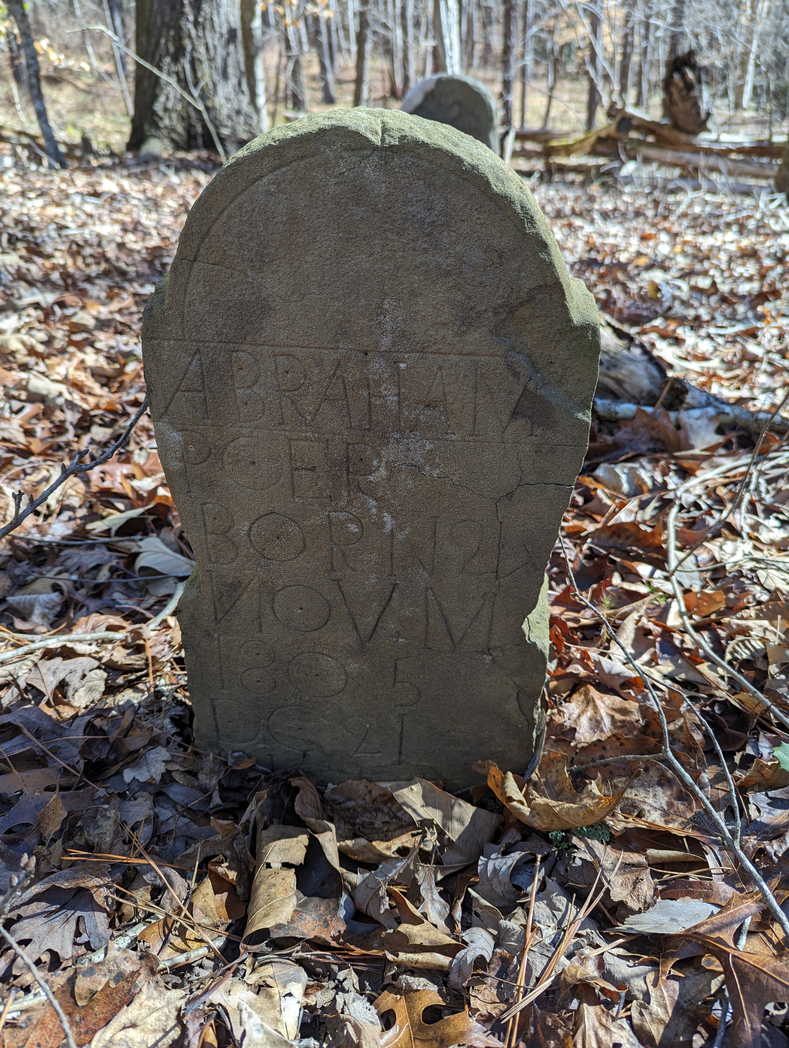
Cable Creek is a tributary of Caraway Creek just before it flows into the Uwharrie River. This site may also be known as Nixon's Mill although no evidence of a mill is apparent. 

The landowner is in the process of putting a conservation easement on the property and allowed several of us to view the dam. After meeting the landowner and another family member with adjacent land, we walked about 1/2 mile to the dam site. 


We had learned earlier that the dam had breached in the late 1960s and was repaired by a local, Sam Lowe. The very center of the dam has been rebuilt. It is about an 8 ft wide section. I assume there was an outlet box which allows water to flow through all the time. This was replaced with a metal culvert pipe. That pipe is now blocked with debris. Since the outlet boxes were constructed differently, with water entering through a chimney-like structure and then angling horizontally. The culvert is just horizontal, so it was bound to clog soon. 


Since the repair which was over 60 years ago, the dam has been breached on river right. A 30 foot section of stone has washed out. There is a little water flow through the culvert and some water seeping through the rock at the base of the dam but it appears most water flow is through the breach now. 


The dam is 144 feet wide plus another 30 feet that was breached. At the center of the creek it is 12'9" high and 7.5 feet thick. 

culvert  and center repair

There is no mortar except in the repaired area. The very top of the repair is brick and mortar. Nearby we saw some pits with rock and assumed, the rock was sourced there. We also, noted that many large stones in the dam had drill holes and had been pried. 

breach on river right

Monday, February 19, 2024

Feb 19 Small Check Dam on Caraway Creek


This one is tiny compared to the Caraway Creek Preserve dam and does not have the characteristic high wing sides with lower spillway. This is pretty straight across the creek. There are two outlets. One is right below the diagonal log leaning on the dam. The second is far to the right out of this photo. The top is covered in a mortar/gravel mix much like the same at CCP. This one does not have the back side sloped steeply downward. 

Second outlet


It appears to be about 110 feet in length. After crossing the creek it angles downstream. Right where the angling begins, a foundation angles the opposite way upstream. This is a very flat area and possibly had a structure on it. 


Feb 13 Flora MacDonald Lived in the Uwharrie Forest


It was brief but Flora MacDonald lived in what is now the Uwharrie National Forest. Scottish Highlanders first came to the area in 1739 as part of the Argyll Colony. Tens of thousands of Scots followed them to this area. So many came that is was known as the Valley of the Scots. 

Flora and Allan MacDonald chose this site on Cheek Creek as it was near her step father Hugh MacDonald's land. After arriving in Brunswick in 1774, they settled here in 1775. Within a year the British governor of North Carolina had his hands full with locals who opposed British rule and sought independence. He asked Allan to form a militia in the area and march to join British troops to the east. Allan and his sons left home with most of the other men in the area, marching to Bennett Creek. They walked into a trap and were soundly defeated with many killed and more taken prisoner. Allan and one son were marched as prisoners to Philadelphia. Flora and many of the women left in their homes became easy prey for looters and plunderers. Flora was taken to court and asked to sign a pledge of allegiance to the American independence cause. When she refused, her home and lands were confiscated. She was likely taken in by neighbors and family in the area until 1778 when Allen was released in a prisoner trade. She traveled to New York to join him. Allan was immediately sent to Nova Scotia where he joined the British Army. After a brief stay, she and Allen headed back to the Isle of Skye. 

During this brief 5 year stay in North America, Flora had broken her arm in a horse fall, then broke the other arm and snapped the tendons. On the way back to Scotland, the British vessel she was on, was a privateer vessel. Enroute they spotted another ship and attacked it. As Flora was gathering the women to get below deck, she fell and broke an arm in two. She must have been in pain for the rest of her life. She died at age 68 in 1790.


This pile of rocks could have been the homesite. From letters, it was known that they owned 525 acres and grew apples and peaches. They also had a gristmill. My goal on this outing was the find the mill site.


If there was a mill there, it would be on Cheek Creek. Having already on a previous outing, walked downstream and saw nothing, I went the other way. Starting right behind the MacDonald spring box, I headed upcreek. After about a quarter mile the creek became smaller and access to the creek would have been quite difficult. So, I turned back and headed back to the spring box. Upon closer examination there, I saw that a channel had diverted water from the creek and then back to the creek. Right at the spot the water re-entered the creek were some bumps in the ground which I felt were foundations covered in floodplain debris. Right next to this spot, was a metal pipe stuck in the ground surrounded by a circle of quartz. Someone was marking this spot. I learned that in 1952 an effort to locate the mill location was made. They found it and marked but did not reveal its location.


Mill foundation


Spring box


Wednesday, February 14, 2024

Feb 13 Tour of Uwharrie Cemeteries


Today's tour is centered around finding old cemeteries in the Uwharrie National Forest. I'm in the large tract of National Forest near Mt Gilead. The tract is bisected by two roads, Lovin Hill and McCallum, named for Scotsmen that lived in the area. First on Lovin Hill Road, the above roadside marker leads one to a small 3 grave cemetery of the Hall family. 


Situated on a hilltop with a dramatic drop off behind it. This cemetery is actually an inholding. Forest Service survey marker is at the corner. This area has been recently thinned, so you can see long views right through the remaining Loblolly pines. 


Next stop is on McCallum Road by a Forest Service road leading to Lewis Mill Pond, a popular waterfowl hunting spot. Hiking beyond the mill pond I took the next left on an old road and shortly reached this old homesite with a large chimney. Nearby were remains of another building's foundation and pit. One large Eastern Red Cedar graced the homesite. Just a hundred yards away was a fenced cemetery.


The headstones are barely visible. My guess is that this is 6-8 years of growth here. I was able to squirm through to look at the 6 headstones/footstones. 


Several of these looked like professionally carved stones, possibly added later. 


This is typical of what I have seen with hand carved stones. Often the words that don't fit are just continued on the next line. 


I knew there was another cemetery nearby but finding it was an adventure. I tried to find other old roads in the area and follow them. I walked several miles following every  old road I came to. Finally, I cheated and looked up the coordinates on Find A Grave. It took me back to the cemetery I was just at and through the woods about 200 yards to another fenced area.


This cemetery, known as Poe-Cockran, was surrounded by hardwoods. It was fenced just like the other with cedar logs held together with rebar. I suspect the Forest Service enclosed them at some point so timbering operations in the area would steer clear of them. Both enclosures are many times larger than the burial area. This one had 5 stones all in a short line, much like the nearby cemetery.


Abraham Cockran's grave had a pile of stones atop it and a marker added in the 1990s. 


Pollyan Poer. The cemetery is listed on Find A Grave as Poe-Cockran which seems like a misspelling to me. 

Lewis Mill Pond


The mill pond backs up Big Creek with this dam. There is a nice road bridge just below the dam. the photo below was taken on the bridge looking back at the dam.


Sunday, February 4, 2024

Feb 4 Poison Fork Area


There are not many standing chimneys in the Uwharrie National Forest but here is one along Flint Hill Rd. I've seen it before but not  checked it out. Today, I investigated. It did not have Yucca nor daffodils. It did have a standing chimney and a chimney fall which would have meant this home was large with two chimneys. 

Chimney fall


This was the interesting part, a grave for two children. Peggy and George Hamilton died one day apart. 


Gorge A Hamilton was bornd on the 10 May 1836 and died on the 14th of December 1843 aged 7 years 8 months and 4 days Peggy Hamilton was bord on the 24th of December 1841 and died o the 15th of 1843 Aged 1 year 1 month and 15 days. 

My guess is that they both had some illness which killed them.


At camp 8 there is same Yucca and a wolf tree in the background.


Joe Moffitt placed these metal markers at all of his camps on the Uwharrie Trail.


Diana Woodell's grave on Poison Fork. I assume her name was Diana not Dania as the stone is inscribed.


Feb 3 Flint Hill


That is a typical Uwharrie scene. A rhyolite outcrop atop a Uwharrie hill. Nothing unusual. It's Flint Hill off Flint Hill Rd near Ophir. The namesake mountain for the road has a smattering of Rhyolite outcrops on it but not anything more than would be expected of any Uwharrie mountain top. I began hiking at Tower Road on a forest road which goes through to Flint Hill Road. I went about half way and turned off on a side road which eventually made it to the south end of Flint Hill.  


Traveling along the ridgetop, I eventually made it to this deer stand very close to the highest point (909 ft). Here, I picked up a wood road leading north to Flint Hill Road. I followed it for a bit but turned off when there was a wood road or possible fire break between FS property and private land. I followed it for a while and it petered out, so I was on my own. Using Alltrails, I made it to the original Forest road I had started out on. Now, on my way back to Tower Road, I saw an ATV track leading east. I followed it to private property.


Here is the gate at private property but you can see they have their own private ATV track onto Forest Service land here. That ATV track led all the way back to the Forest Service road, so they can access all the roads back here. It has been recently used and looks well worn. 

ATV road across Forest service property

I made my way back to Tower Road and ended my exploration of the area. 


Friday, February 2, 2024

Feb 1 Tadlock Graves


Out there in the Birkhead Wilderness, John and Elizabeth Tadlock share a memorial stone. Two footstones are behind this marker. The Tadlocks lived a couple hundred yards from here. An old road connects the cemetery to the home site. All that remains of the homesite is a small chimney fall and some daffodils. The homesite also appears to have been used as a staging area for a logging operation. A logging road seems to run right through where the home was. This spot is also one of the original campsites established along the Uwharrie Trail by Joe Moffitt and his scouts. The trail passed through here in one of its earlier renditions. There was a copper sign made by Joe Moffitt here, designating it as Camp 2. 


The cemetery itself was not conveyed to the Forest Service in 1979 when the surrounding 205 acres were sold by Ross Paul and Lillie Belle Vuncannon. It is sometimes referred to as the Lillie Vuncannon (Estate) cemetery although she and husband Ross are buried at Hopewell Friends Meeting nearby. I assume the Tadlocks owned this land when they passed. John W and Elizabeth Miller Tadlock both were born in 1833, married in 1866, had two children and passed a few years apart. 

Nearby a hickory shows off its shaggy bark


Apr 20 Waterwall on Walker Creek

  Waterwalls redirect floodwater back into the creekbed. There is one very near the Uwharrie Trail on the Walker Creek section. This one is ...