Thursday, August 25, 2011

Aug 25 Embarrassment Rock


Back in December, I wandered upon this odd rock. It is not a cliff, but merely a rock sitting by itself out in the woods. Since that time, I have related my experience to others and this place has achieved something approaching urban legend status. As you can see, it appears someone may have spend a bit of time here with the carpet bed in the shelter of the rock overhang. When I first saw this, there were some dried mushrooms stacked up here as well.


To get to this spot, I led my my gullible buddies, Jay and Ron, through one and one half hours of mountain laurel and rhododendron. In 90 degree heat and even higher humidity, it was an exhausting adventure. When we finally arrived, I was too exhausted to take adequate photos. One of the intriguing aspects is the trees surrounding this rock. They all appear to be holding up this cantilevered rock. In those places, they have grown into the rock as the photos indicate.


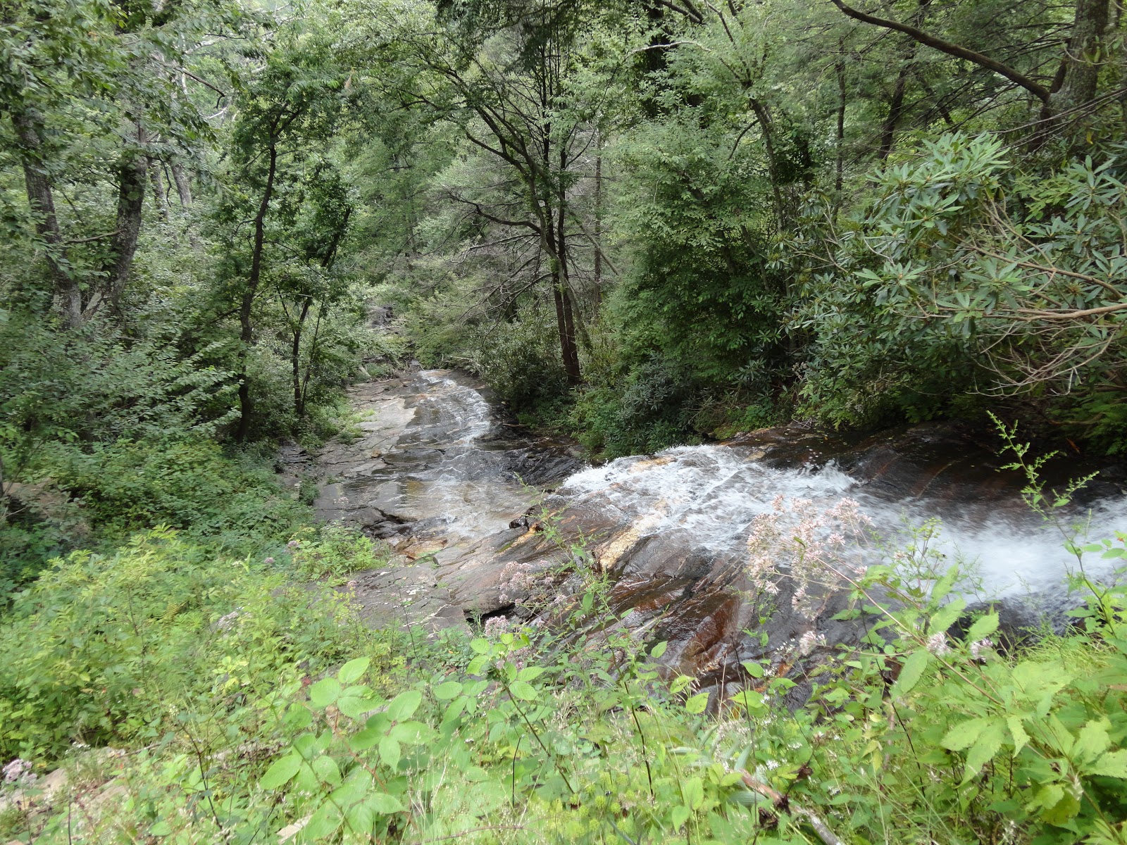
Upon leaving here, we decided to follow Ron on a downhill course. Within 9 minutes we were on the the Indian Creek / MST Trail. I was relieved and embarrassed and grateful to to have friends who didn't berate me for the hour and twenty minutes of misery. 


This is one of a many unique spots in Hanging Rock State Park. If you'd like to learn more of the secrets here or just support this wonderful gem of a place, please visit and join Friends of Sauratown Mountains. We love this park and intend to keep it a special place for us all to enjoy.

Monday, August 22, 2011

Aug 15 Elk Knob Hike


Elk Knob State Park is one of the gems of the North Carolina State Park system. It became a part of the system only in 2003 after being acquired by and donated by the Nature Conservancy. Just a few miles from Boone, it does not garner the attention other nearby parks, like Grandfather Mountain and Blue Ridge Parkway parks have. At 5520 feet one would think it would dominate the surrounding area but it merely blends in with Snake Mtn, Three Top Mtn, Bluff Mtn and Mount Jefferson to name a few. To the north is the Grayson Highlands. South is Roan Mtn, Black Mtn, Grandfather Mtn and a host of others. So it is just another mountain in the sea of mountains. Elk Knob and several nearby neighbors differ from the others in that the alkalinity of the soil does dot support Rhododendrons. Roan, Grandfather and the Grayson areas are loaded with Rhododendron. Much of Elk Knob's ground cover is a thin bladed natural grass. You see it everywhere. 


Originally, a jeep trail accessed the mountain top. It went straight up with few switchbacks and has eroded badly. Due to its steepness, it made for a strenuous climb. Local volunteers, including a group from Appalachian State University, have over the last 4 years built a wonderful trail. The stonework on this trail is fantastic. The new trail weaves its way to the top in a series of switchbacks, crossing the old jeep trail many times. As of right now, there is just a short piece right at the top that needs completion. Our visit was during a foggy day, so we had limited views but a sign atop indicates the many mountains you can see on a clear day. I recall it listed Pilot Mtn at 65 miles was visible on nice days,


We encountered some nice wildflowers, like the White wood aster below. We also saw some Blazing star on top. Much of the upper portion had colonies of Indian Pipe growing too.


Thursday, August 18, 2011

Aug 14 Green Knob Hike


From the Sims Creek Overlook Parking Area, the trail starts in a mess of both orange and pale jewelweed as you can see from the above photo. This spur trail accesses the Green Knob loop trail at the creek right below the Parkway. The trail crosses some meadows but is in the woods for the majority of time. It is in need of considerable maintenance. There are many washed out spots that have stripped the top soil down to the slick earth below.


Pale Jewelweed


The meadow are pretty and sport some nice wildflowers but you do have to hike over some slick spots to get there.

Aug 13 Calloway Peak hike


I'm about to collapse after this grueling hike (OK it is only 4 miles to this place). There was nasty weather in the air but we managed to make it with only a sprinkle or two on the return. The clouds moving in and out giving us an on again off again view.


Calloway Peak is the highest point on Grandfather Mountain, at 5946'. To get from from the Blue Ridge Parkway, we parked at Boone Fork Parking Area and accessed the Tanawha Trail, then the Nuwati Trail, Then Crag Way Trail and finally Daniel Boone Scout Trail. That is a lot to remember. As you climb over the big rock just before the "Viaduct View", you are standing on the eastern Continental divide. There are some pools of water here that don't appear to be moving in any direction. So perhaps they are upland pools.


There are 3 ladders like this one and a cable to aid your way over the rough terrain. Someone spent a lot of time figuring out all this so we could have a great time hiking up here.

Plane wreckage below is from twin engine Cessna which crashed in 1979.


Aug 12 Downhill on the VA Creeper


For this ride, we drove to Whitetop Station and bicycled down to Damascus. At the first shuttle company I inquired about a ride back up and we got on the next shuttle. This saved us over an hour of driving.

We stopped by this apple tree for a short break and apple snack. It wasn't too had to find a good apple but you did need to mind the bees.


Somehow we got separated on this ride. We must have been apart for 30 minutes. I don't know how that happens but you should have a protocol in place for such occurrences. The ride to Damascus is a bit under 17 miles and takes about 2 hours with standard breaks and photo ops. 


Upon our shuttle back to Whitetop Station, we got on the bikes again and rode the mile or so to the NC state line. We actually rode into NC for short way because someone has removed the signs indicating the end of the trail and no trespassing. They were there at the beginning of July. I even took a photo of the end of the trail. 


Aug 11 Beacon Heights Hike


Beacon Heights is a spur trail off Tanawha and MST. It is a short hike of less than a mile to a couple large rock outcroppings with decent views to the east. One of the rocks has a nice view of Grandfather Mountain since you are in its shadow here.


We saw an usual wildflower here, Blazing star but I failed to get a photo of it, thinking there would be a better example. 

Aug 11 Flat Top Mtn Hike


Moses Cone carriage trails from the Cone Manor to the top of Flat Top Mtn. This had to be a favorite area of the Cones. Moses and his wife as well as a couple household employees are buried along this route. 

We saw lots of people here as well as some horse riders. The variety of wildflowers is very nice. The meadows had Milkweed, Thistle and Tickseed sunflowers blooming. Along the wooded areas, we saw Starry campion, Woodland sunflowers, Angelica, Joe-Pye-weed, Mountain mint and Jumpseed.


The firetower on top has nice views in all directions. Grandfather Mountain is quite close and dominates the southerly view.


Aug 10 EB Jeffress Cascades


The trail to the Cascades is an easy 1/2 mile. I spotted this little mushroom of the Amanita family along the way. It looks like something a witch would add to a cauldron of magic.


The cascade starts out with a fast moving tiny stream of water, as above. Then plummets onto the rocks below.


Aug 10 Three Top Mtn Hike


With directions and information obtained from Summit Post entries, we were able to locate the trail head for this hike up Three Top Mtn. The property is owned by NC Game lands and the public is permitted to access the land across private roads. The roads have many ominous signs warning of no trespassing and video monitors in use. Signs are somewhat misleading at a couple road junctions, not clearly identifying the proper turn. Nevertheless, with only 2 miscues, we ended up on an overgrown two track ending at the small parking area. From this point there is a well used but unmarked trail. It heads down for the first 12 minutes, leaving one wondering if this is the right way. It is. The trail takes an upward turn and doesn't let up. It is slow going on this steep ATV trail. Flagging leading off into the woods are several spots, indicates this is deer hunting land and it best be avoided during that season.

The photo above is Polyporus sulfurous in its edible state. This fungus gets much larger but also more woody or fibrous and thus not as appetizing. 


As we reached an ascending ridgeline, the grade became less severe and we were treated to many woodland sunflowers, Joe-Pye-weed (with accompanying butterflies), Angelica and Mountain mint.


Once on top, we had great views in most directions. The other tops of Three Top Mountain do line up nicely as the photo below shows. Jefferson and Bluff Mtns dominate the east. Snake and Elk Knob are to the west and the Virginia highlands are to the north. The view west looks quite rugged. There aren't many roads in this direction, no wonder.


Saturday, August 6, 2011

July 31 Boone Fork Loop


Lovely day for a hike here in Julian Price Memorial Park. We started with a drive out Holloway Mountain Road to a wide spot in the road where the Tanawha Trail crosses. No signs here, you just have to know where it is. After a trial and error scouting hike, I knew just where to go. We saw so many mushrooms, especially boletes today. It seemed they were everywhere. Our small group of 6 padded around the loop in the wet, very wet and slippery terrain. Unbeknownst to any of us, one of our cohorts injured her wrist in a fall on a slick portion of the trail. We learned later, also learned nothing broken just a nasty sprain.


Here is our lunch spot. The water was cool when I waded out for this shot. Can you spot the plastic water bottle?


Our tree hugging, barefoot countess holds on while the rest of us foolishly investigate the MST ford of Boone Fork.

A Longer A&Y


Today the high temperature was not supposed to reach 90. I had to do something outside as this has been one hot summer and looks to continue that way. So I opted for a bicycle jaunt on the A&Y in Greensboro. Temps only in the high 70's but humidity tickled 100%. Very few folks out on the trail today until I got close to Bur Mil. That is where I ran into the runners, hordes of young kids. So many, I had to get off the trail while they passed. I pedaled past Bur Mil, past Strawberry Road and up to the end of the trail - but wait there is more. The trail continues. I thought this was just the greatest thing until it stopped in about one tenth of a mile.


Brand new pavement but only a stones throw worth.

Apr 20 Waterwall on Walker Creek

  Waterwalls redirect floodwater back into the creekbed. There is one very near the Uwharrie Trail on the Walker Creek section. This one is ...