Friday, November 4, 2022

Oct 27 The Hidden Channels of Virginia


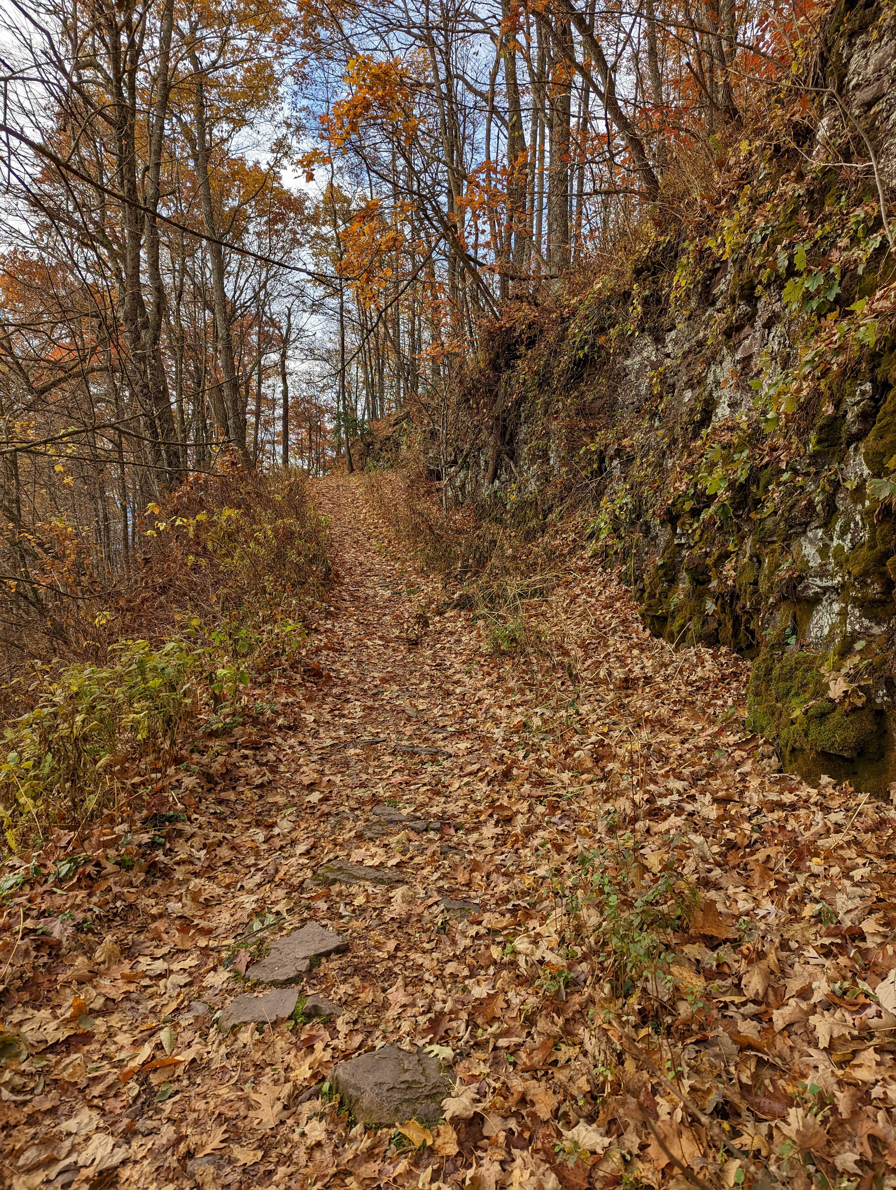
Near the Hayters Gap fire tower and the entrance to the Great Channels, is another area of sandstone channels I'm calling the hidden channels. Unlike the fenced off "top" of the Great Channels, these have fissures you have to jump over to get to your rock of choice. There is a social trail leading here but not much of a path down among the channels. They are narrower and the terrain is steeper. So these are unlikely to get overrun like the Great Channels.


Rhododendron offers some nice handholds as you slip and slide down. By my estimation, this area is larger that the Great Channels but much less accessible due to steepness. 


It's still a long ways down.


I explored a bit but did not find many channels that were wide enough or safe enough to slither through. The dead Rhododendron leaves made for a slick surface to further complicate the scramble. Of course the Rhododendron also meant more crawling and contortions to pass through.


Despite the rough going below, the top was a great place to sit in solitude to take in the view. 


Oct 27 The Great Channels of Virginia


Above is a map from the Jack Kestner novel Fire Tower, published around 1960. Jack began hiking to the fire tower when it was first being built in 1938 (constructed by CCC, completed in 1939). He also published a memoir of his life A View from the Mountain, mostly relying on articles he had written as a newspaper columnist. His column was in the nearby Bristol Herald Courier. Although, he was quite familiar with the Great Channels, he wrote in 2004 when The Nature Conservancy bought the property, very few locals had visited or even knew of the Great Channels. The property later transferred to the Commonwealth of Virginia.


The former Jeep trail from Rt 80, was utilized to access the fire tower until is was decommissioned in 1970, is now used by hikers to make their way to the Great Channels. Jack Kestner served as a fire tower lookout briefly. Housing was in a one room Warden's cabin near the fire tower. A spring just down the Jeep road was utilized for water. It is shown on the Kestner's map. I found the trail to it but I'm told the spring box was destroyed when the area was timbered.


Our hike began early as we wanted to explore the Great Channels by ourselves. Walking Fern is one of my favorites. This one is growing in a crack in the sandstone.

Lots of Pipevine along the trail


After a 3 mile hike, we arrive at the fire tower. The tower sits on a sandstone outcrop, much like the Great Channels. There are fissures in the rock but only wide enough for litter to collect in. Just a few steps further, the fissures are wide and deep. The Great Channels have a lot more signage and the access is much better defined than when I last visited in 2016. The warden's cabin was still standing at that time. Take a walk through the maze below.


After 20 minutes wandering in the sandstone maze, we encountered another adventurer. She had just arrived, so was able to point the way out to us. Otherwise we would have roamed around a bit searching for the exit.

Witch Hazel in bloom


Oct 20 White Pines Preserve


White Pines Preserve, a Triangle Land Conservancy property at the confluence of the Deep and Rocky Rivers. I have not visited for at least 10 years. There are many more trails and parking areas have significantly increased. I knew the area had been settled and farmed so my plan was to head offtrail and see what I could find. Almost immediately, I located this barn which has been left to fall away. 


Not far away, I saw what looked like a well and then this pond (below). There was an overgrown area next to it with Wisteria in the trees. So, that had to be the homesite although there were no signs of a foundation or anything else. 


Roaming still farther, I located a cinder block foundation and this stairway to an underground room. Probably not a panic room. More likely a root cellar. 


Once I had my fill of the offtrail adventuring, I walked along the rivers. There is a canoe put in on the Rocky but you have a long way to drag or wheel your boat. Perhaps as much as a half mile. If you are using it as a take out, good luck. It's all uphill. 


The Rocky River is just that - quite rocky. As one would suspect, there are quite a few Rocky Rivers. North Carolina had several. This is not the one that flows from the Concord area into the Pee Dee River. 


Thursday, November 3, 2022

Sep 24 Strawberry Gap Hike


New trail alert!!! Strawberry Gap Trail is now open and we are hiking it within its first week of being open. Our hike begins on the Trombatore Trail at the trailhead also used to access the Bearwallow trail system. The narrow dirt road that leads to this popular trailhead is an adventure in itself. So narrow that backing up to allow passing room is part of the process in arriving or leaving. 

Trombatore, Bearwallow, Weed Patch, Strawberry Gap?? What are these places? Back in 2017, two overlapping land trusts - Carolina Mountain Land Conservancy and Pacolet Area Conservancy merged to form Conserving Carolina. The new entity works in the Brevard, Hendersonville and Lake Lure area. Dupont Forest and the Hickory Nut Gorge lie within that area and have benefited greatly from the efforts of Conserving Carolina. One ambitious goal is to complete a 100 mile trail from lake Lure to Fairview. About a third is now open. The latest trail to open is Strawberry Gap. Conserving Carolina teamed up with Southern Appalachian Mountains Conservancy in bring this trail online. 


Our hike begins on the Trombatore Trail. This 2.5 mile trail travels through mature hardwoods and passes close enough to several homes we could hear people talking. As we approached the end of Trombatore, we entered a large grassy bald with distant views. We noticed a nearby apple tree and stopped for a snack. 

Pokeberry


The Strawberry Gap and Trombatore trails meet in this field and our hike continues down. A controlled burn is evident as we start down Strawberry Gap. More rock ledges are also apparent. 


About halfway down, we reach an area where there are several nice views to the northwest. From this point on, we encounter quite a few hikers. Some of the trailwork looks fresh and other spots look as if they have been in place for a while. In this area we located a burring American Chestnut tree. We also hear the hollow knocking noise chipmunks make at several spots. We are back at the parking lot before noon. Trombatore Trail 2.5 miles and Strawberry Gap Trail 3 miles. 


Apr 20 Waterwall on Walker Creek

  Waterwalls redirect floodwater back into the creekbed. There is one very near the Uwharrie Trail on the Walker Creek section. This one is ...