Wednesday, December 27, 2023

Dec 14 Twenty-Mile Loop Hike


It's not a 20 mile hike. It's an 8 mile hike in the Twenty-Mile section of the Great Smoky Mountain National Park. A nice loop hike can be done from the Twenty-Mile Ranger Station. I followed lovely creeks and many many bridged crossings. The morning started out freezing but warmed quicker than yesterday. 


Starting out on a gravel/dirt road, it's an easy walk alongside Twenty-Mile Creek. At the first trail junction, I headed left up the Wolf Ridge Trail alongside Moore Spring Branch. Since this is also a horse trail, each crossing had a log bridge and a ford. The cold start meant that there was a thin layer of ice on the logs, making for slow but safe crossings. 


At the next trail junction, I turned right onto the Twenty-Mile Loop trail. Although this is not a loop itself, it does enable one to accomplish a loop by connecting the Wolf Ridge Trail and the Twenty-Mile Trail. No longer alongside a creek, this trail ascended and descended over 3 miles to the next junction.  


Turning right again, now on the the Twenty- Mile Trail and back toward the trailhead. This trail was an old road and looks like it could be passable for 4WD vehicles. There was a side trail leading to a series of cascades. 


Much of this trail had a swath cut in it from recent rains. It even crossed some bridges like an aqueduct. 


Friday, December 22, 2023

Dec 13 Road to Nowhere Hike


The road to nowhere ends right here. It is also known as Lakeview Drive. The tale of this road is a contentious one for the folks of Swain County North Carolina. When the Tennessee Valley Authority built Fontana Dam backing up the Little Tennessee River in the early 1940s, old Rt 288 was flooded. Rt 288 connected several towns - Bushnell, Judson and Proctor. These towns were either submerged or access to them was submerged. All the residents in the area had to move. The Department of the Interior bought their land either willingly or by force. The Dept of the Interior facilitated the building of the dam to create a large source of hydroelectric power needed for wartime projects. Alcoa which made aluminum for aircraft and Oak Ridge and its secret Manhattan Project were two of the beneficiaries. TVA, which is a federally owned electricity corporation, was to pay Swain County for flooding Rt 288 and buy 44,000 acres to facilitate the dam and lake. Much of that acreage was transferred to the national park. And, the Dept of Interior was to build a road along the north shore of the lake to allow former residents to visit ancestral gravesites. 

Construction of the road began just after the war in 1946. By 1971, only 7 miles had been completed. It turned out to be much more costly than thought. Eventually, an environmental issue was cited as the cause of abandoning the project. Anakeesta rock in the area is quite acidic and exposing the rock would cause acid runoff into streams affecting aquatic life and water quality. That did not go over well with Swain County. The only way former residents could visit gravesites was by boat and then hiking to cemeteries. The National Park Service paid for these visits a couple times a year.

Eventually, the Department of the Interior paid Swain County for reneging on the road. A settlement was reached in 2010. The USDI was to pay the county $52 million. However, it was given to the state of NC to manage and Swain County would only receive the interest on an annual basis. The final payment to the state was completed in 2018.  


This has to be the most graffitied place in North Carolina or any National Park. The tunnel is about 1/4 mile long. Virtually every square foot of the sides of the tunnel have been painted. 


Both sides are like this the entire length. At the other end, the tunnel entrance has been tagged as well as many trees above the entrance. 


This is the unfinished end of the tunnel. The wooden guardrails are still in place and resemble those on the Blue Ridge Parkway. There is a turn around here and then just an old woods road, the former Rt 288. 

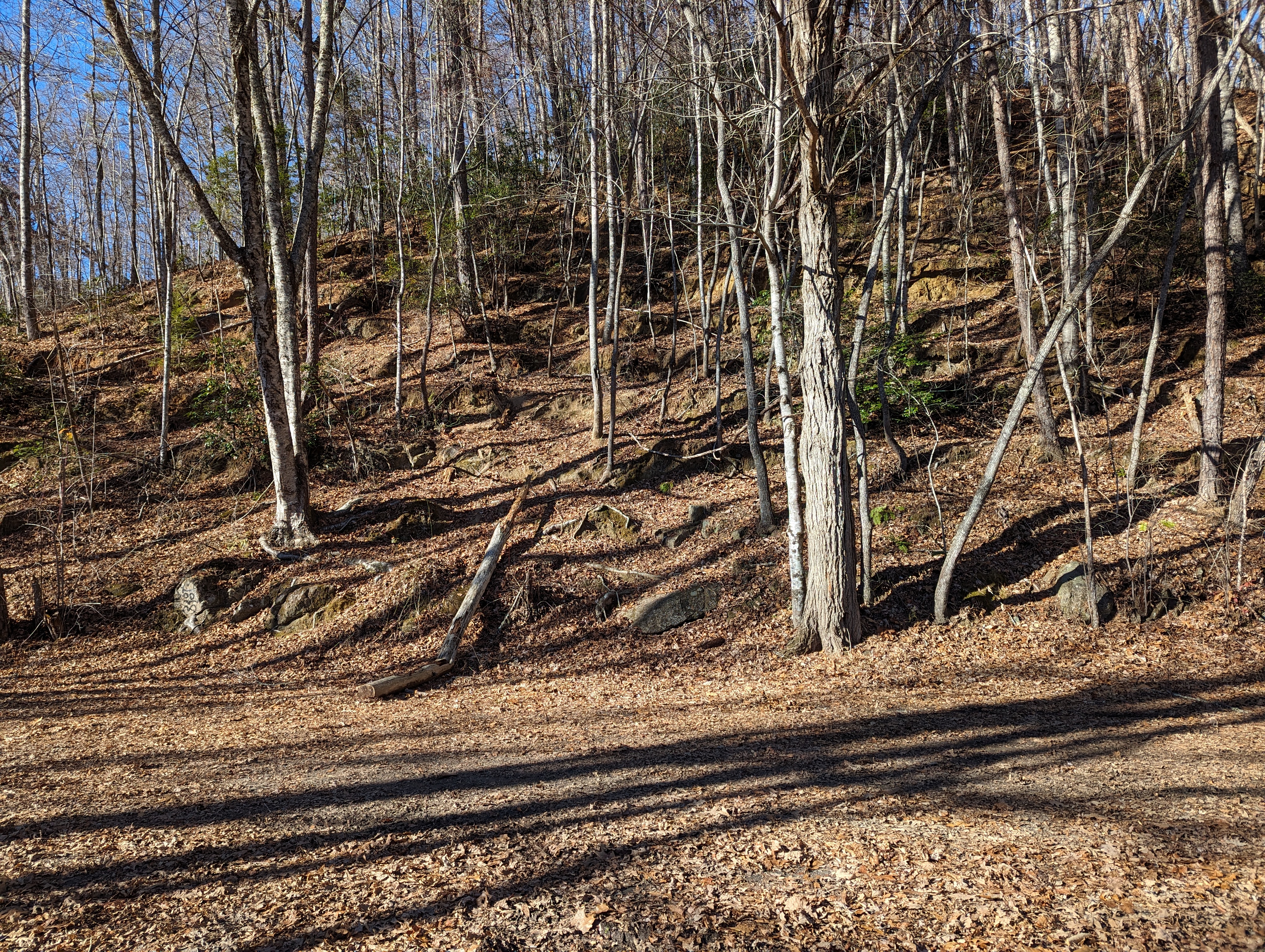
Grading on the hillside

Strange metal trail sign


The lake is drawn down in the fall to anticipate the wetter months of Winter. I got a glimpse of that here on the Goldmine Trail. 


My hike was on the Tunnel Bypass Trail and Goldmine Trail and then an out and back on Lakeshore Trail.


Sunday, December 10, 2023

Dec 8 Little Caraway Creek Check Dam


Located near Earnhardt Road, this dam has been breached on river right. It appears that an earthen dam on river right accompanies the stone dam. Creek water has blown a hole in that earthen dam and now the creek flows freely around the stone dam. One outlet can be seen here. There does not appear to be another. 


We estimated the length of the stone dam to be about 100 feet with 80 of those feet at river level. The rest is built up on a hill alongside the the creek. There is a stone structure rising up from the dam on river left. A brick structure rises up from river level to above the dam on river right. The brick structure is right where the dam was breached and may have been an attempt to prevent the earthen dam from eroding. Or both of these structures could have supported a swing arm used during the dam construction. However, it is unclear to me that the brick structure was part of the original build. It is made with mortar and there is little mortar elsewhere in the dam.


In this photo, the brick structure looks like a buttress. 

It could have a hollow interior. 


This is the up river side of the dame. The outlet can be seen. It was completely covered up with debris and silt before the owner, Steve dug it out. There is a metal rod protruding from the dam on top of the outlet. That may have been used to hold a gate to close the outlet. 


After visiting this dam, we walked to another on a tributary. It was of a different construction. The check dams we have seen are very nicely engineered with tight fitting stones, a sloped top on the upriver side and   with water outlets. This dam had none of that and was likely designed to impound water behind it. 


Dec 7 Haw River Trail at Shallow Ford


The Haw River Trail (land trail not the paddle trail) is a planned 80 mile trail from Haw River State Park to Jordan Lake State Recreation Area. About 20 miles have been completed. Much of it will also be part of the Mountains to Sea Trail. My hike today was from the Shallow Ford Natural Area, an Alamance County Park. The Haw River Trail is incorporated into the park and for about .6 mile outside the park boundary.


I located 3 homesites in the area. This one has a huge circular pit. I wondered if this might have been for a well. Artesian wells were dug in a huge cone shape and filled in after reaching the desired depth, usually 40-60 feet. 


This rock lined structure was likely a dairy or ice cellar. The nearby river would have provided ice. Often the ice was insulated with hay and could last well into summer. 


Another homesite


After walking along the river as far as the trail went, I backtracked to this stone structure next to the river. It is not a bridge and not a dam across the river. I walked around here for about 30 minutes during to figure out the purpose. It is possible that water was diverted from the river but for what purpose. There appears to be a channel for the water to get back into the river about 100 yards from the structure. Join me next time and we'll figure it out. 


This has to be one of the most underrated trails in the area. The views along the river were quite scenic. The river is loaded with rocks. riffles, rapids and dead trees, big and small. 


Dec 6 Raven Rock Tour


Today was a PHOC pickup hike led by Hubert. Our route took us on every hiking trail except The Northington Ferry trail. The photo above is a rapid known as Lanier Falls. The trail to the river is the Campbell Creek Loop Trail. It goes along the creek for a good distance. There are many American Hornbeam trees, large Loblollies, many American Holly trees and others. 


Over to the other side of the park, we hiked the Little Creek Trail, American Beech Trail, Raven Rock Trail and finally the Fish Traps Trail. The massive staircase at Raven Rock is a neat engineering feat. It appears to be in good condition still. There is a massive Oak tree here that has Resurrection  fern on every branch. The rock's overhang would shelter a great number of people in rainy weather. 


This is the largest Native American structure I have seen in North Carolina. The fish traps were sealed at the downriver end with rocks, allowing the water to flow through but not the fish. 


The Cape Fear River


Apr 20 Waterwall on Walker Creek

  Waterwalls redirect floodwater back into the creekbed. There is one very near the Uwharrie Trail on the Walker Creek section. This one is ...