
The Swannanoa Valley Museum hosts a series of hikes throughout the year. Ten of them are designed to complete the rim of the Swannanoa Valley. Today was one of those pieces. It was a drizzly morning and I did not expect many participants. So it was surprising when 29 showed up. I may have been the only non-member in attendance. Thus it cost me $45 to hike with them. Members pay $25. Fundraising for the museum, I'm told.
They did have to secure permission to hike across private property today. Most hikes they do are on private property at some points. Many follow the Asheville watershed boundary which is strictly off-limits although many admit to slipping on the property occasionally.
To get to the trailhead we had permission to travel through the sub-division developed by the now bankrupt, Christian Believers United, a group of ordinary folks awaiting the apocalypse. This community has its own water system, fire department and is accessed through a heavy steel, electric gate. I suspect the apocalypse could get ugly for these folks since its not likely the gate would work and the local hordes all realize this is the place to loot stockpiles of food and supplies. Perhaps they have contingent plans.
We assembled in the Believers summer camp at the top of the road. The camp is gorgeous but has not operated for a couple years and is for sale. Our hike leaders took turns telling us some of the local history and bad jokes. Then we were off. Our hearty group soon spread out over a long way as we climbed steadily. Once we reached the ridge, it was off trail easy walking along the ridgeline.

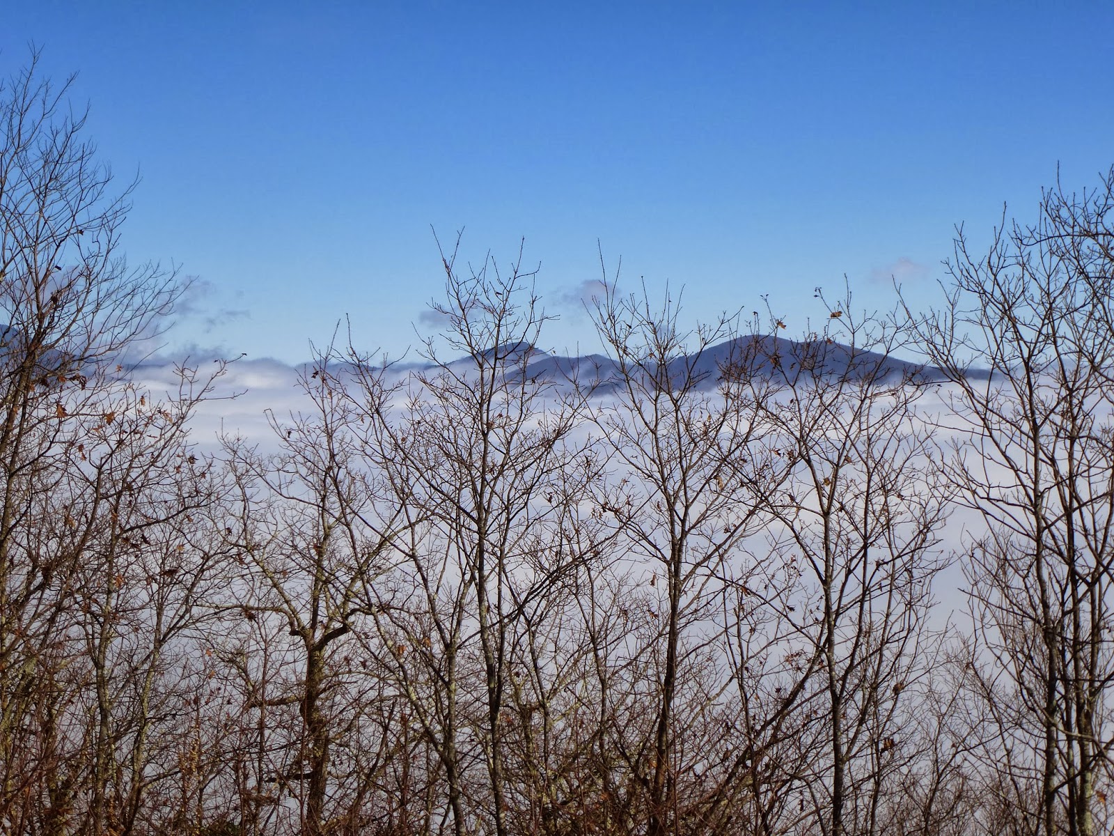
As the ridge began to descend, we came to this spot, above, between two large rocks. Not long after, we arrived at a helipad, built to access the watershed property in case of forest fire. The view below is from our lunch spot on the helipad. Our day began in fog but as we approached the ridge, we rose above it. Conditions stayed that way all day as you can see from the view looking toward the Black mountains.
After lunch there was a steep descend on a slope full of wet leaves. Our route meandered about, avoiding rhododendron. Eventually, we ended on a fire road and walked out on it. One of the fellows I car pooled with suggested we have a beer at the trail head. I didn't realize the Trailhead was a local bar, next to the museum in downtown Black Mountain. Cheers


No comments:
Post a Comment