
Don, Joe and I are headed from Tot Hill trailhead to meander in the Betty McGee Creek area. We begin with a short walk from the trailhead on trail. Within minutes we are off trail headed toward the Grey Owl house. We followed a flagged route someone had left. Once on the old road, we saw the flagging head off into the woods as we continued on the road. At the Betty McGee crossing, beavers have been active and we had to move upcreek to a spot where a tree had fallen across to make our traverse.
The Grey Owl house is still there. It looks as it has for years now.

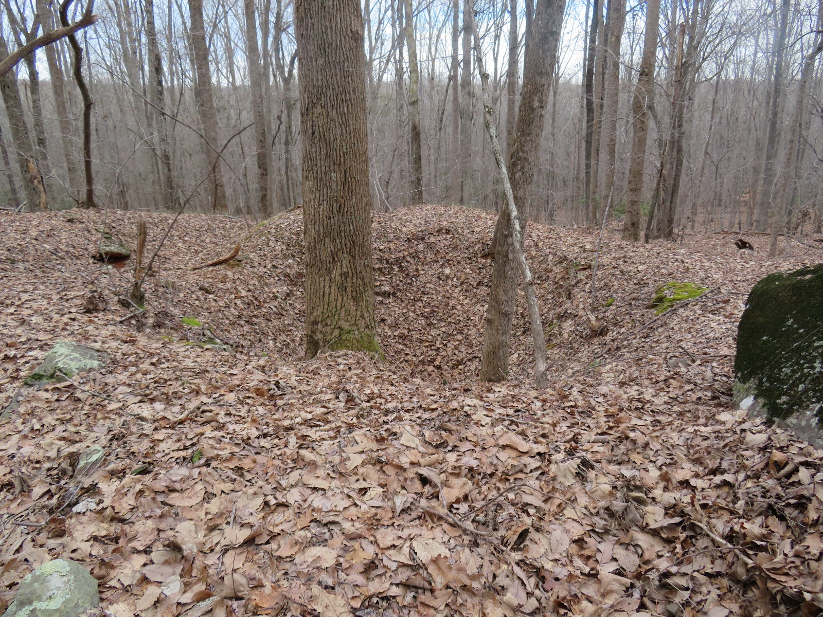
Heading off into the woods from the house, we head to the big rock with the ladder. I knew there were pits here but never connected them with a mining operation. After looking over the area, we noted about a half dozen pits. Large and deep, like Dowd Mines, this must have been a mining site.

Following the ridge of large rock outcrops, we see more pits and a long ditch leading down to the creek. We concluded these must be part of the Colburn Mine.


We head back to the creek and find the confluence with two side creeks. One of these has the infamous Window Rock Joe has been telling us about. Pictured below is the group of rocks forming a bridge, or window as Joe would say.

Back on track, we follow Betty McGee to an area of much former agricultural activity. Piles of rock are everywhere. Someone has taken care to make these piles attractive and not just a pile of rocks.

Some thought went into these well placed rocks. We meander about this area looking for homesites and springboxes but find only the chimney we are familiar with, below.

We head up Cedar Rock Mountain for a break. Take in the view for a few minutes and then look for the spring Joe has been talking about for a year. We find it and it is flowing. Springs at the top of mountains are rare. We aren't actually at the top of a mountain but are quite close. There appear to be 3 springboxes here. The other two, perhaps abandoned as the spring changed course over time. This is a cascading creek from here down the mountain. It is quite a unique water course this high on a mountain.
We continue walking along the forest service boundary for a good ways, seeing little of interest. After a bit, we retrace and them head to the Dowd Mine pits. After visiting here, we are tired and hike back on real trail. Our only side excursion is to a homesite and shelter someone has fashioned with an old metal roof.
After 9 miles, we call it a day.


No comments:
Post a Comment