
This morning we were shuttled to Cass for the 24 mile downriver ride back to Marlinton. As we left the parking area and eventually rode by the river, the first thing I noticed was what appeared to be a Native American fish weir across the main part of the river where the river flows back into itself after an island.
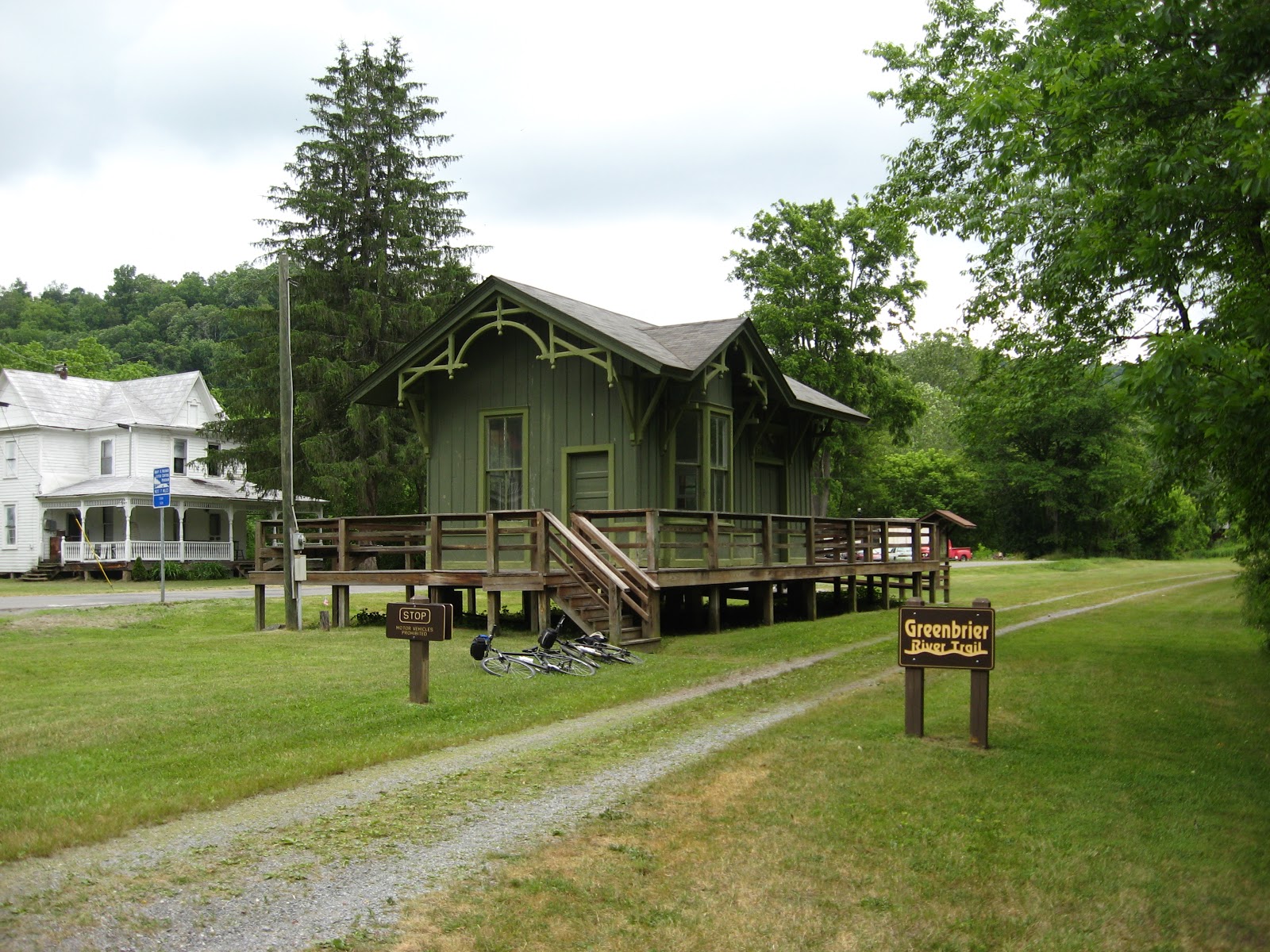
We some cottages but basically this was wilderness, the Seneca State Forest. In the tiny community of Clover Lick, there is this beautifully restored RR Station. Again today, we saw many deer. Also, saw a snapping turtle along the trail. We were careful not to get too close.

The river winds its way trying to bust through a mountain range here. The river boast more rapids than we saw yesterday. Finally, the river makes one big bend to cut through the mountain. It is at this point, the trail enters the 511' Sharps Bend Tunnel. As yesterday, this one too has a slight curve in it. Right as you emerge, you are on a curved bridge (see above) crossing the river. From here to Marlinton the river is fairly straight.

In Marlinton, the station has burned but this water tank has been restored. You can see how the steam trains were able to refill with water using this odd funnel device. Railroad water sources are marked on the trail with markers sporting a "W". They gave the train engineer enough time to check his water level and stop the train if needed.


No comments:
Post a Comment