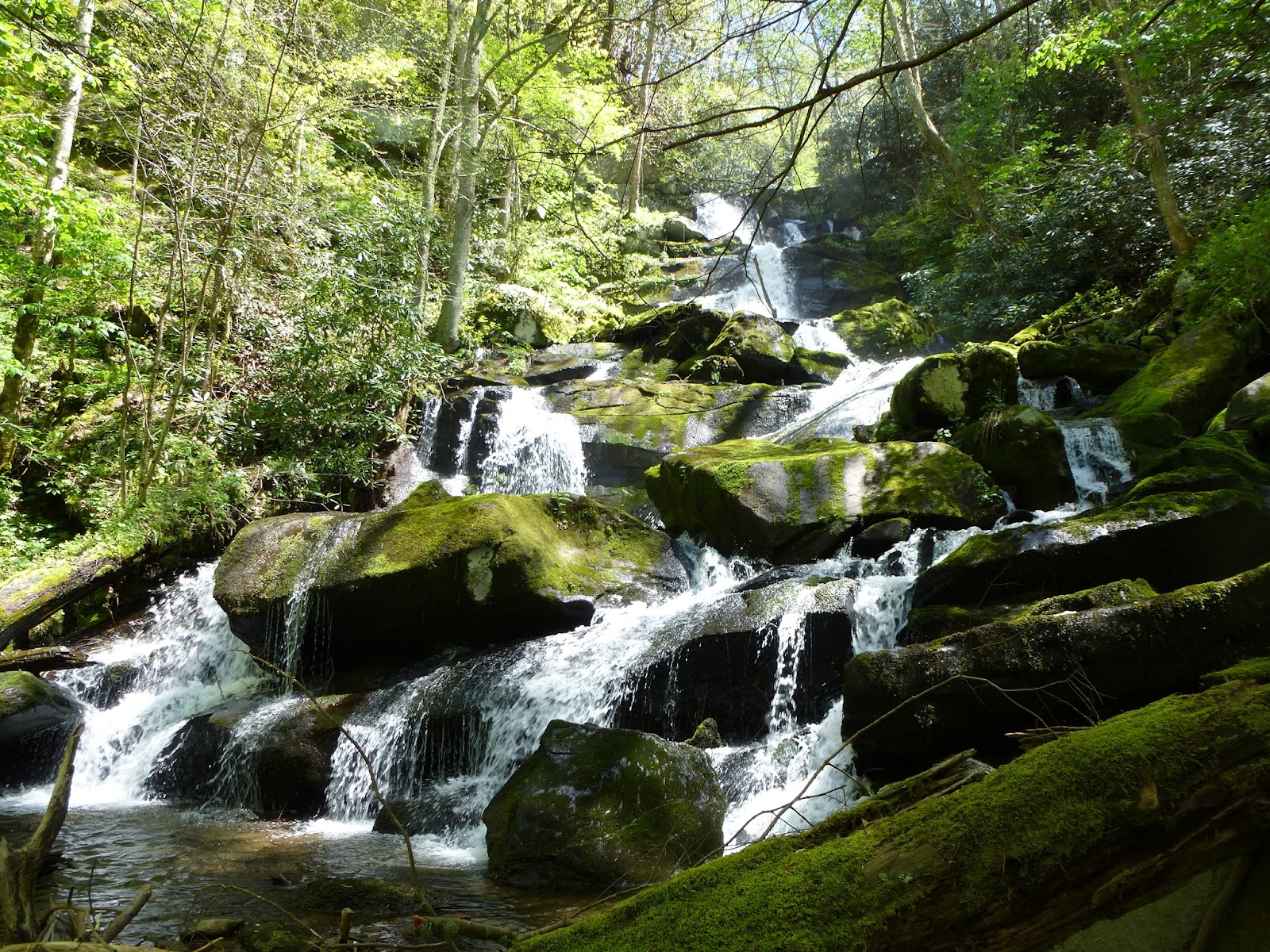
Mill Creek Falls, reputed to be the highest waterfall/cascade in the park, is not accessible via trail. It is a 4+ mile scramble up Mill Creek. Mill Creek is the creek with flows by the Cades Cove visitors center and powers Cable Mill. Our leader today is veteran historian and off trail scrambler Ken Wise. I've hiked several times before with Ken and know his laissez-faire style of leading hikes. We have a group of 25 which I regard as high number for an off trail hike.
We meet at the Cades Cove Visitors Center and get a relatively late start. After a short walk along the road, we disappear into woods between two walnut trees. There is a dug road here but it has many fallen trees on it. We go from one road to another and finally end up at Mill Creek where Ken utilizes a fallen tree (above photo) to cross the creek. We slip and slide at another spot creekside and finally head up on the hillside to get away from the creek and its steep bank. From here it is fairly easy going until the creek bends at a choke point and we have to negotiate a narrow bear and deer trail on the steep slope. After a laborious descend we are at Sugar Cove another choke point. I mention the choke points because I know they are key landmarks and we have to travel through them on the return. The group huddles for short break and then proceeds. The going through the cove is difficult but only because of numerous downed trees. It is relatively flat.
It is in this area we encounter the giant Chestnut Oaks above and below. This specimen is quite impressive.
Some of the lead group I'm in hears shouts behind and we turn back only to be told to go ahead and cross the creek as best we can. We find a rotted log and make the crossing. It looked much worse than it was. Now we're in Rhododendron and there is only as slight trail through it. We regroup and some take out sandwiches as it is well past noon at this point. Finally Ken arrives and counts us. Then counts again. Uh oh, there are only 23 of us. Quickly we determine two women are missing. Their husbands are with the group but they don't appear to be panicky. Ken whistles loudly, then shouts, heads back a short distance and repeats the process. The creek is providing enough background noise we can't hear much anyway. He returns and announces we have only one option, continue on to the falls, eat and find the missing folks on the return. I'm stunned. No one objects so I offer to head back, find the gals and go to the Sugar Cove choke point and wait. Ken reconsiders, says he will find them and I should lead the group on to the falls and back. We have another leader but he has no clue where we are and really should not be expected to lead in this terrain. I'm confident I can negotiate this but whisper to another pilgrim "I don't like this". She nods back and we start off in silence. Ken has instructed us to go high through this area and a couple folks head almost straight up. I try to stay in contact with them, instructing them to go lower and left but after 15 minutes I can no longer see them. We manage a rough route through this terrain. I stepped in a fresh pile of bear scat at one point. We finally arrive at the base of the falls and I try to count heads when I see Ken coming along with the two lost souls. Still I'm concerned about the two or three folks that headed up high. Then I see someone waving way up next to the falls. No one else wants to hike anymore at this point so I make my way up over the boulders and there is Todd, Mary and Greg enjoying lunch. I join them for an up close lunch by the cascade.
The cascade is truly a big show for such a small creek. At the very top of the visible cascade the water is forced to one side. I would love to climb and see what this looks like from above. Perhaps the cascade continues higher and we just can't see the upper portion. Today I don't have the energy nor the time to make the short steep climb. According to the Tennessee Landforms website, there is an arch rock up there too. Does someone want to join me for that adventure???
The walk back was pleasant but everyone, including me, was operating on reserve energy. "Impulse power" as Captain Kirk would have put it. We did have one period of anticipation. After crossing the creek a final time, our advance group of 16 waited 20 minutes for the final group to join us. We were told someone was having trouble breathing although everyone appeared to be fine. I offered some water to one gal who gulped it down. It was the second hike of her life. She wore tight jeans, cotton shirt and didn't bring a sufficient water supply.
Our final regrouping spot is along a dug road in a bog. There is a chimney here that I walk by, perhaps 30 feet away, and don't even see it. Here we must head right up the hill to find another road which is mercifully close. We stride out into a meadow just yards beyond the twin walnuts and manage the short stroll back to the visitors center. I don't have much left in the tank but am in better shape than many as they trudge back to the cars.


No comments:
Post a Comment