
Hedgehog Brook
There is a small section of the Long Trail in this area which I have not hiked. I hiked about 6 miles today and covered that .6 mile section. Getting there required starting on private property near the community of North Fayston. The owners have graciously allowed hikers to park and hike here on the Hedgehog Trail. There is a trail register at the parking area for hikers to sign in and sign out. The trail started along a gentle grade and gradually increased. By the top, I was using ladders laid on the ground to climb the steep grade.

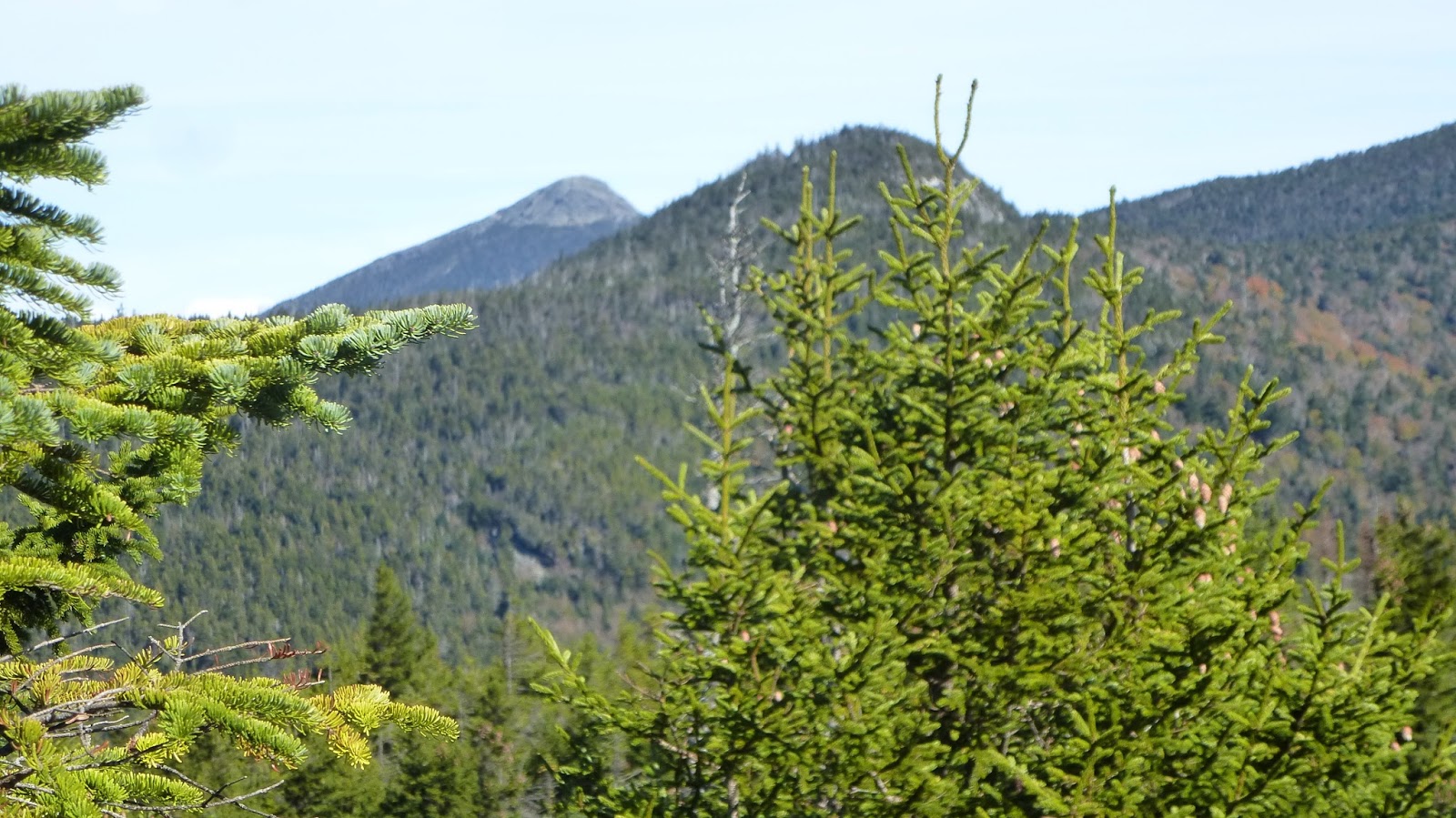
White Mtns in distance
Finally, on the Long Trail I head north to Burnt Rock. The trail is easy at first but gives way to a rocky, rooty mess. Climbing up and down is required. I reach a spot where, intuitively, I think the trail skirts a vertical wall but that is not the case. Somehow the trail manages to fins a way around and up the vertical terrain. The white blazes on rock are the only way to know which way to go. Shortly, I'm at Burnt Rock looking east at the White Mountains. A short jaunt to the other side of the ridge, offers a view of Lake Champlain.
Camel's Hump in background
Camel's Hump makes its presence known as I gaze north. When I last was here, from the opposite direction, I sat on a rock for lunch. I found that exact rock again and once again, ate on that spot.

See the trail?
On my way up, I had met one hiker, but on the way down I met 7, all female. One local stopped to speak with me. She kept referring to "the valley" which I later figured must be "Mad River Valley".

Trail descends here
Five hours to hike 6 miles is standard for this area of Vermont.


No comments:
Post a Comment