
For the most part, this is a hike on a Forest Service road in the Russell Mine area, opposite side of New Hope Rd. My hike began at the Big Creek bridge and followed Big Creek upstream. There were some old roads I followed at first before walking creekside.

One of the first things I saw was this Bobcat skull. That seemed like a good omen - it's going to be a good hike!

When I saw the Fairlane piece, I knew I had to be near an old road. Sure enough, just uphill was the Forest Service road I'd spend most of the hike on. It was gravel and had seen some vehicle traffic, probably to keep the food plots clear.

Big Creek isn't so big here

Shortly, I forded a tributary of Big Creek and began to see rock walls on the right. One wall paralleled the stream and another appeared to cross it - possibly a dam, although there was not much water here. After wandering a bit and unable to locate anything more, I'm back on the road. For the most part, this area is a mature oak forest. The road came to a food plot which I walked the perimeter of to locate the continuation of the road. A while more and I came to a second food plot. This one had a small hill with a wooded flat area which looked like a good spot to build a home.


Walking over to the wooded spot, I saw Honey Locust pods and some Coralberry. Had to be a homesite and yes there is the chimney fall accompanied with a spreading Black Cherry and dogwood. There were the obligatory pieces of metal roof, broken china and glass.

Large White Oak near the homesite

Coralberry fruit lasts well into Winter
The Forest service kept the farm's fields intact as a food plot. I walked throughout the area and could see lots of disturbed earth. It looks like an extensive network of irrigation ditches were dug in a low area. The amount of work needed to survive on an this isolated working farm must have been significant.

Satisfied with my meanderings in the farm area, I continued on two roads separately. They both ended shortly at private property. One had a clearly defined rocky ridge as a boundary line. Reversing, back through the farm and retracing my steps on the Forest Service road, I saw another chimney pile that I had missed on the way in. It was small and did not appear to have any signs of ancillary buildings or cleared land.
A side road passed by a beautiful hill of mature trees and ended in a pine plantation, again at private property. It seemed I had seen all I was to see, so it was back to the car along the Forest service road. As I was passing the area where I had seen the rock walls, I noticed a flat spot on the other side of the road and what looked like a uprooted tree. A closer look revealed a large partially intact chimney. It had large quarried rock in it which I normally don't see in this area.
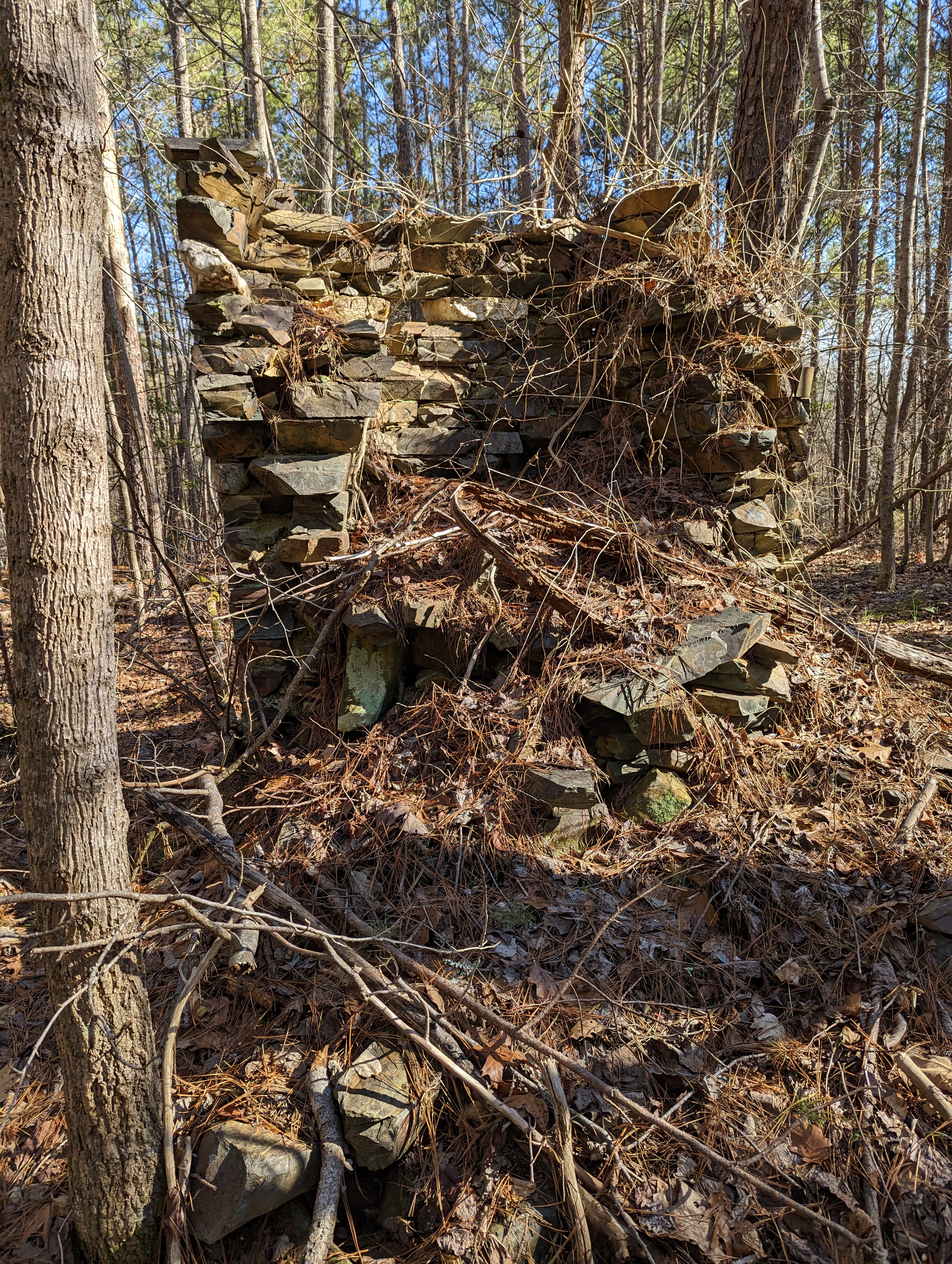
Thinking I had located a hidden gem in the forest, I was dismayed to see a deer stand in close proximity. The homesite was within sight of the rock wall I had explored earlier. So, this was a pretty big complex of some sort. Close to the Russell Mine leads one to think there may have been a gold connection.

I finished out my hike by following the road to New Hope road just a 1/2 mile from my car. Alas, I can't walk the road to my car since there is a car chasing, mean looking dog at the one home between. To get by, I had to head into the woods and stumble around to avoid the dog. I could see it giving chase to a Fedex truck as I peered through the woods. Dog averted, although it did give me a good chase as I drove by on my way home.

6.2 mile hike. Homesites marked.


No comments:
Post a Comment