
Located on a rough trail from the Tremont Institute, this waterfall does not appear in most hiking guides (Ken Wise's 1996 guide does include). It is a spectacular cascade of falls and less than a mile from a parking area. I have visited it once before, in the summer as I recall. On that trip, I had to take off my boots and pants to cross Middle Prong River. Today, Middle Prong is swollen with snow melt. Crossing is not an option.

Not many folks know of this waterfall. It is well know by kids and adults that attend programs at the Tremont Institute. Parking is quite limited at the Institute. There is a Visitor Center operated by Great Smoky Mountain Association. A small weather station is located near the building entrance.
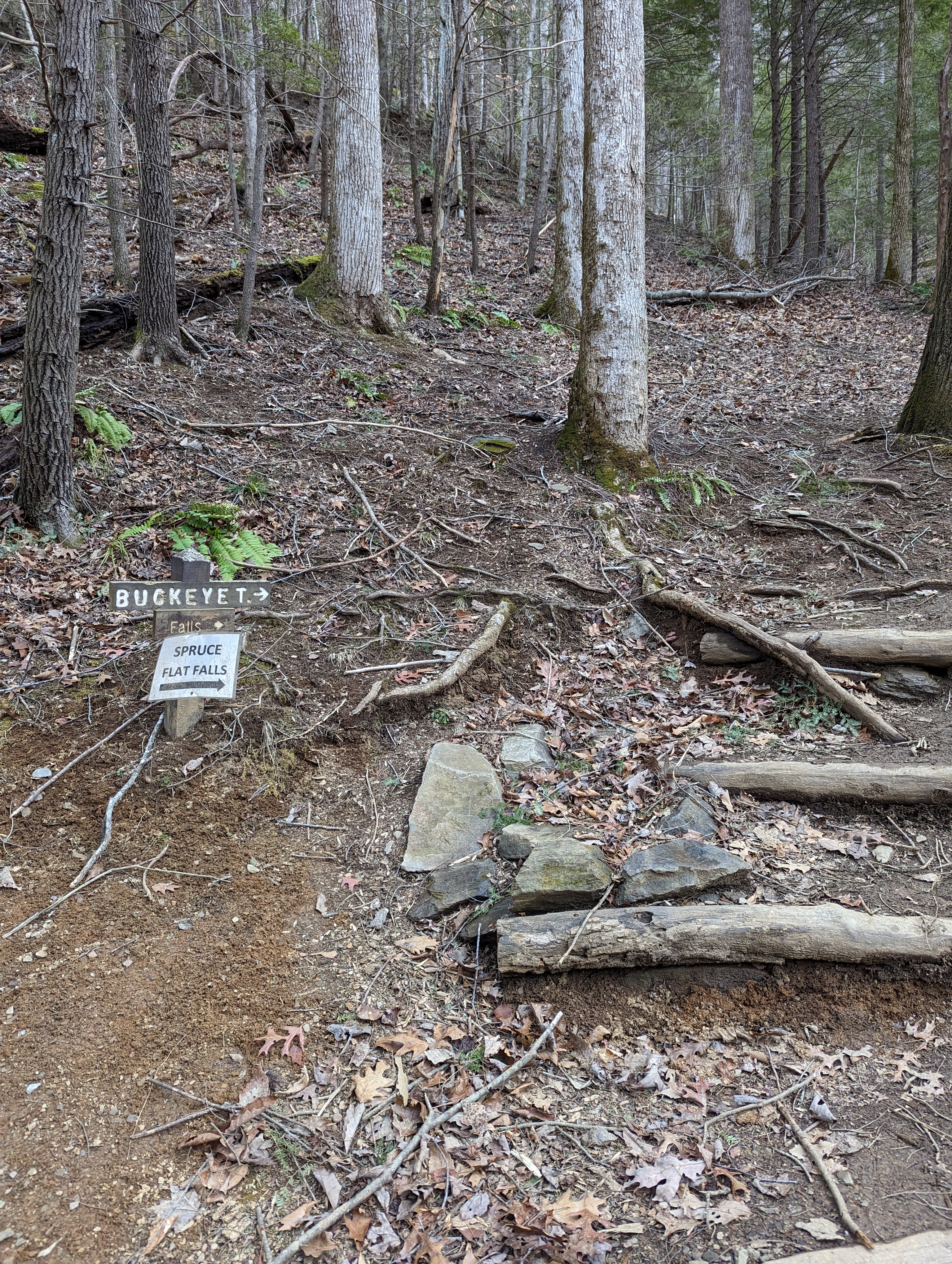
To hike, follow the gravel road up to the Institute dormitory building where the Lumber Ridge Trail begins. About 50 feet further is a trail junction and an old trail sign pointing right, signed "BUCKEYE T". The trail is rough and quite muddy today. The wind was active with several howls that send waves of leaves speeding by us. A couple bursts registered at "scary level". Pick your way through many exposed roots, rocks and stay high away from the unstable trail edge keeping you from tumbling down a steep drop. Look for an acute left turn just before the water tower. We missed that turn and had to backtrack to find it.

Once you have climbed away from the water tower, Middle Prong will be present below on the right. It was a torrent today. About .7 mile from the start, you will see the waterfall. At first you can see the main and final drop as well as another upper drop, in photo below.

However, as you approach further, only the bottom drop will be visible, photo at the top of this blog entry. Today, despite being 60 degrees, the left side of the waterfall was a column of ice. The temperature did not get above freezing for several days prior to today.
I've read that there are four drops with only the last 2 viewable from the trail. To see the first two drops, one must climb up above to view them. There is also a manway from Lumber Ridge Trail that steeply leads down to them. The spray from the waterfall has created well iced rocks in the plunge pool vicinity. We were unable to get near the plunge pool today.

Right below the falls are a series of smaller drops, photos above and below. Spruce Flat Branch shortly enters Middle Prong. In the photo below, you can see Middle Prong and just beyond it, the park road. The waterfall is not viewable from the road, though it is so close.


No comments:
Post a Comment