
Today's hike ended up being 14 miles. I made two wrong turns and that added a bit over 2 miles to my hike.
Beginning at the Price Park picnic area off the Blue Ridge Parkway, I start walking on the Boone Fork Loop Trail. It is an easy stroll along the creek for a mile and one half. At that point the MST deviates from the loop trail, crossing Boone Fork. Even in dry weather it looks like this is a wet crossing. Knowing this, I have my creek crossing sandals ready. The water is about thigh deep today. There is a very pleasant fellow hiking with his daughter on the opposite side. He tells me he owned and ran the Victorian Inn in Blowing Rock for two years. That seems to be a common theme among inn owners - 2 years.
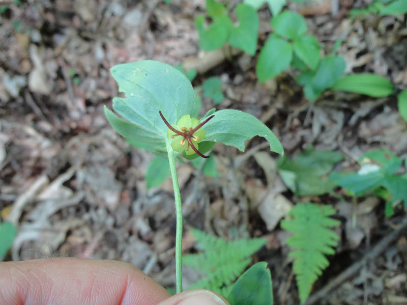
Indian Cucumber Root
The MST is blazed or so I thought, so there was no need to print out the trail description. One of the first thing I did was make a wrong turn which added 2 miles to my walk. I somehow ended back up on Shulls Mill Road and found the turn off for the trail. At this point the climb up Rich Mountain combined with the heat and the fact I'd added extra mileage, took its toll on me. I stopped mid-trail and took a water and energy bar break. Beyond here, the trail connects with the Rich Mountain trail and drops to Trout Lake before heading to Cone Manor.

At Cone Manor it is still 5-6 miles to Blowing Rock via the MST. There are more direct routes on the park's carriage roads but the MST follows lessor traveled carriage roads with innumerable swithbacks. The finial approach to Blowing Rock is along a dirt road emptying onto Rt 321. I'd hate to pull pull out in a vehicle at this point. It is a blind curve and cars are travelling fast. The last 1/2 mile in in the road gutter.


No comments:
Post a Comment