
Cut bridge over Betty McGees Creek
Beginning at Tot Hill, I had intended to hike to Cedar Rock Mountain and then follow Betty McGees Creek back to the Gray Owl area. However, starting out, I decided to reverse it, to see if I could locate the Gray Owl woods road from my direction. At the first campsite on Talbot Creek, I headed into the woods, crossed a tributary and then up steeply. At the top of this ridge, there was a campsite with much trash. In a minute or two, I had located the woods road I was looking for and followed it toward Gray Owl Road. I saw many reflector pins in trees along here. Nearing Betty McGees Creek, overgrown fields were on both sides of the woods road. There was one spot of large rocks here. At the creek, there was an old bridge made of telephone poles which had been cut and fallen into the creek. Thus, 4 wheelers would have a difficult time accessing this old woods road.

House beyond Gray Owl Rd
Just up from the creek is an old house. The only other time I have been here, maybe 12-15 years back, it was private property but no one was living in the house. Although the electric meter was still working. Since the occupants moved out, it appears the house was used as a deer hunting base. There are posters of deer on the inside walls. Also, the kitchen appears to be set up as if it were used by a group.

Not all the windows are broken
In a large white oak about 40 feet from the house, is a large wooden deer stand with a tin roof. The latter going up to it is missing the first few rungs. Behind the house is a collapsed building. It had a partial basement but the tin roof is laying in the hole now. It is full of other appliances and junk.

Early Uwharrie decor

Welcome

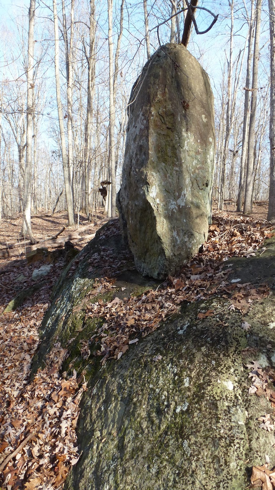
Big rock you can climb up
After leaving the structure, I decided to follow Betty McGees Creek. Rather than retrace my path on the old woods road, I walked into the woods to cut an angle back to it. In doing so, I found an area of huge rocks with pits dug beside them. The pits were similar to pits seen in the Doud Mine area. One of the rocks had a handmade ladder on it. Most likely the ladder came from an old deer stand.
Toaster rock
And then there was this odd rock which looks like a piece of toast has just popped out of a toaster. Leading to the creek from this rock is a straight trough about 2 feet deep. I could not find any source of water here. Once at the creek, I headed upcreek. At one point I saw some trash but upon investigation it turned out to be a prospectors cache with shovel, scoops and pans for panning gold. Eventually, I entered the area I am familiar with. There are piles of rocks stacked up around rock outcroppings. there are neatly built stone walls about 20 feet long. Then there is the partial chimney and foundation wall. A very old road runs through this area. Not far from here you are at Cedar Rock Mountain.

Cedar Rock Mtn homesite

Rather than walk back on trail, I decided to walk back along the Dassow property. I was surprised at the number of flagged routes I encountered here. This area is well on FS land. These seemed consistent with deer hunter flagged routes. Being so far from road access, it must be a good hunting area to make the long walk in and out worthwhile. Some of these routes crossed onto the Dassow property which was fairly nice hardwoods on top of the ridge but scrubby pine in the valley between me and Cooler Knob ridge.
For the most part, my walk through here was most pleasant. I was on top of a ridge in nice forest with little undergrowth. It was quite easy walking for a mile or more. Once I got into the Gray Owl woods road area, I easily found the route back down to Talbots Creek.


No comments:
Post a Comment