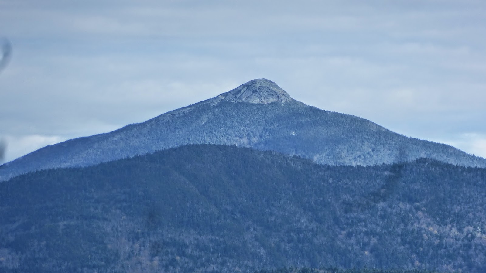
Camels Hump from the south
From this direction, Camels Hump looks like a Camel's Hump. From I-89, the most seen view, it looks like a couching lion, its former name.
Beginning at Appalachian Gap (App Gap), I hike north on very steep and rugged trail. I had forgotten how difficult trail hiking was in Vermont after years of easy trail here in North Carolina. Reaching Molly Starks Balcony, as it is signed, I was rewarded with the view below. I later learned from the locals, the preferred name was "Molly Starks Nest".

Camels Hump and Mt Mansfield from Molly Stark's Nest

Birch Glen Shelter
This shelter is an easy access from a side trail, the Beane Trail. It did not look like it was used as a party shelter as one might expect.

Steep and rugged trail
The climb down to App Gap is very steep and rugged. I don't think the photo shows that but this was a spot I thought I should try to capture that character.


No comments:
Post a Comment